
Kordil Navigation Pro
Kordil Navigation Pro
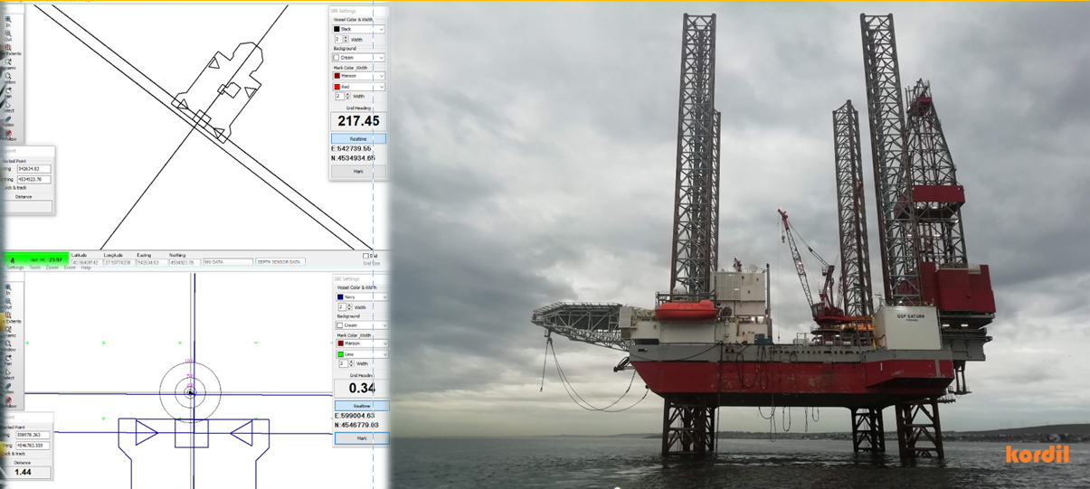
Kordil Navigation Pro (KNP) is a multipurpose positioning and navigation application for marine and land projects. It brings GNSS and sensor information together with project drawings, giving operators a clear view of the vehicle, its working position and the surrounding construction area.
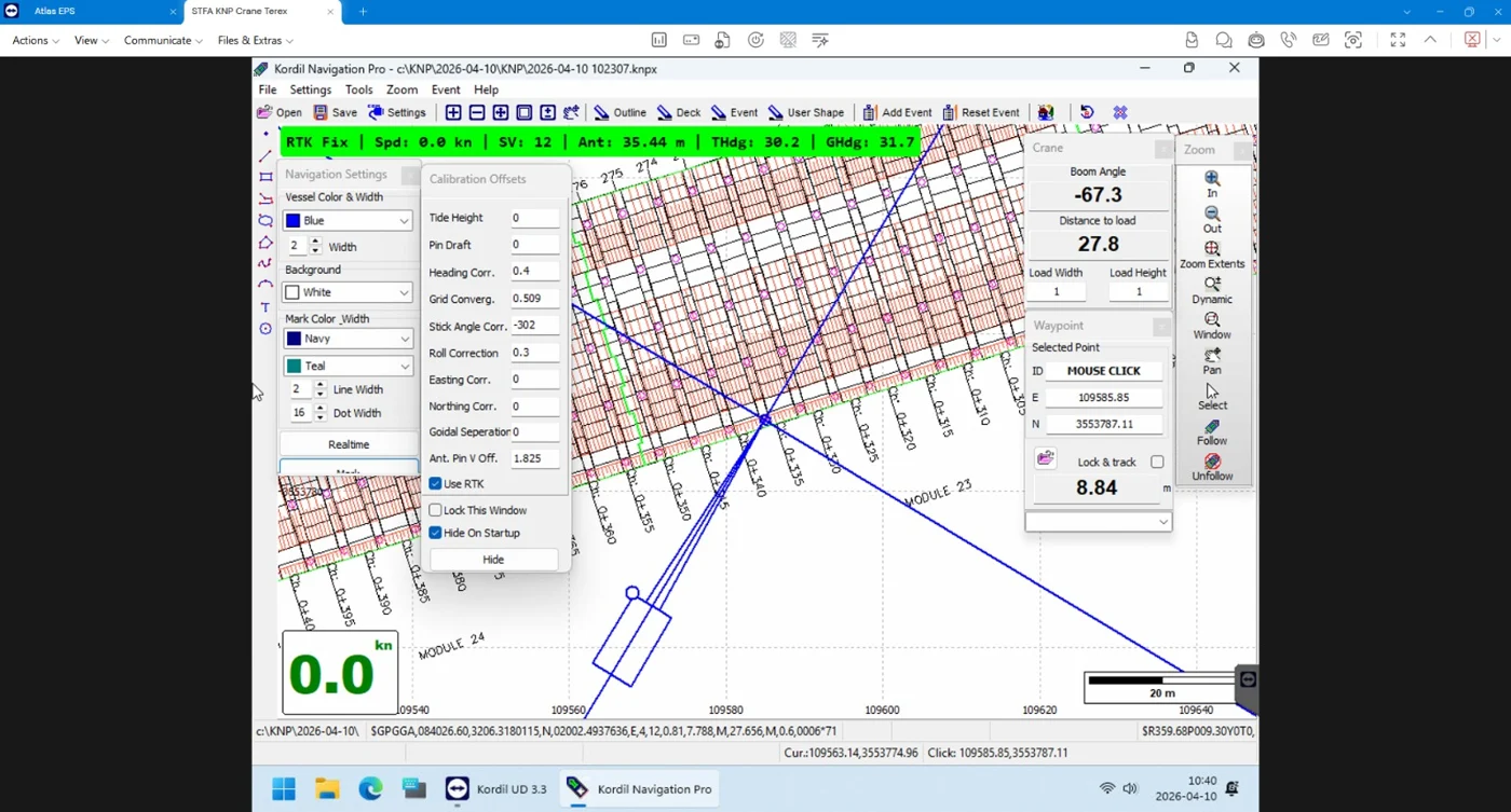
Marine and land applications
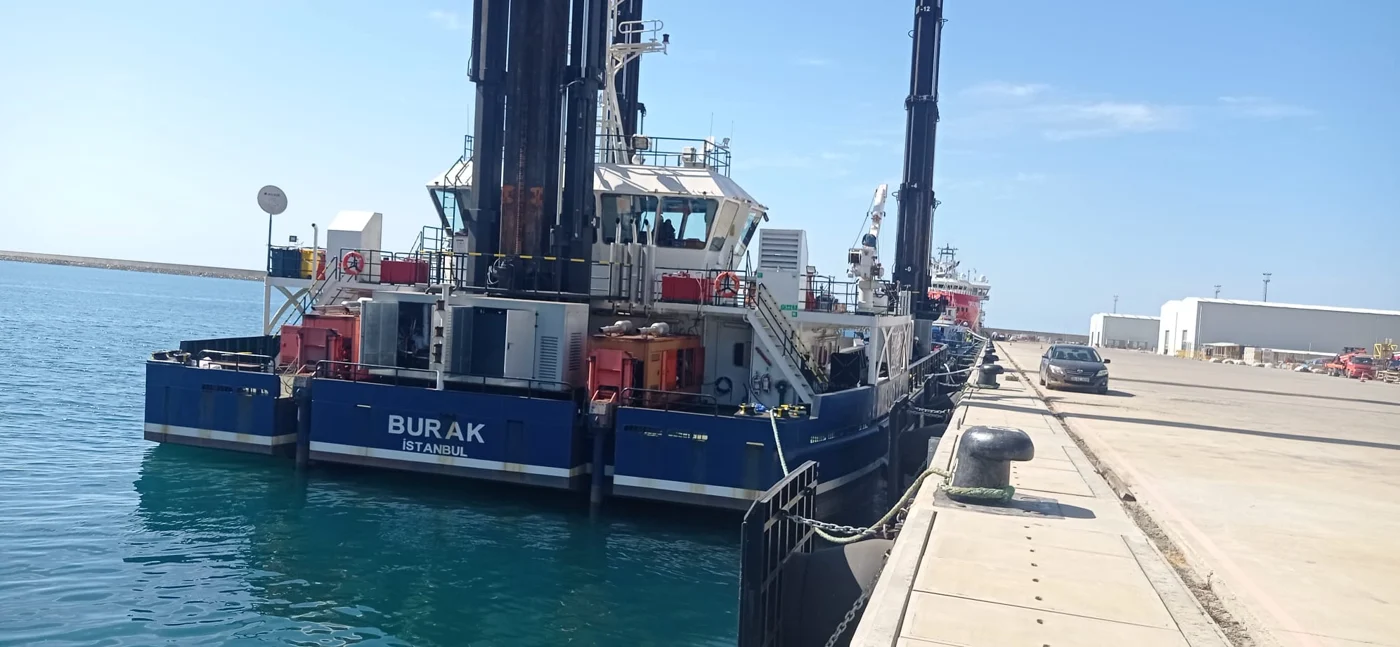
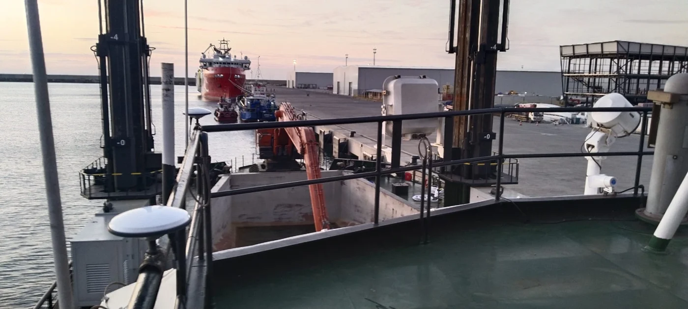
KNP supports positioning of survey boats, dredgers, barges, cranes, piling platforms and other moving machinery. In harbour construction, the project drawing helps the operator follow filling areas, rock placement locations, dredging boundaries and planned working lines. Split-barge and spreader-barge applications relate the operating area to reference points on the vessel. The software edition and sensor arrangement are selected around the actual working method of each platform.
Sensor integration and recording
The software processes NMEA position and heading messages and supports high-frequency serial input with time-stamped raw data logging. Additional inputs, such as inclinometers and tide or water-level sensors, can be incorporated for the selected application. A suitable dual-GNSS arrangement can calculate heading from positions where a separate gyro is unavailable. Recorded information supports later review of the operation. Achievable positioning accuracy depends on the receiver, correction service, measured mounting offsets and sensor calibration.
Project drawings and coordinate handling
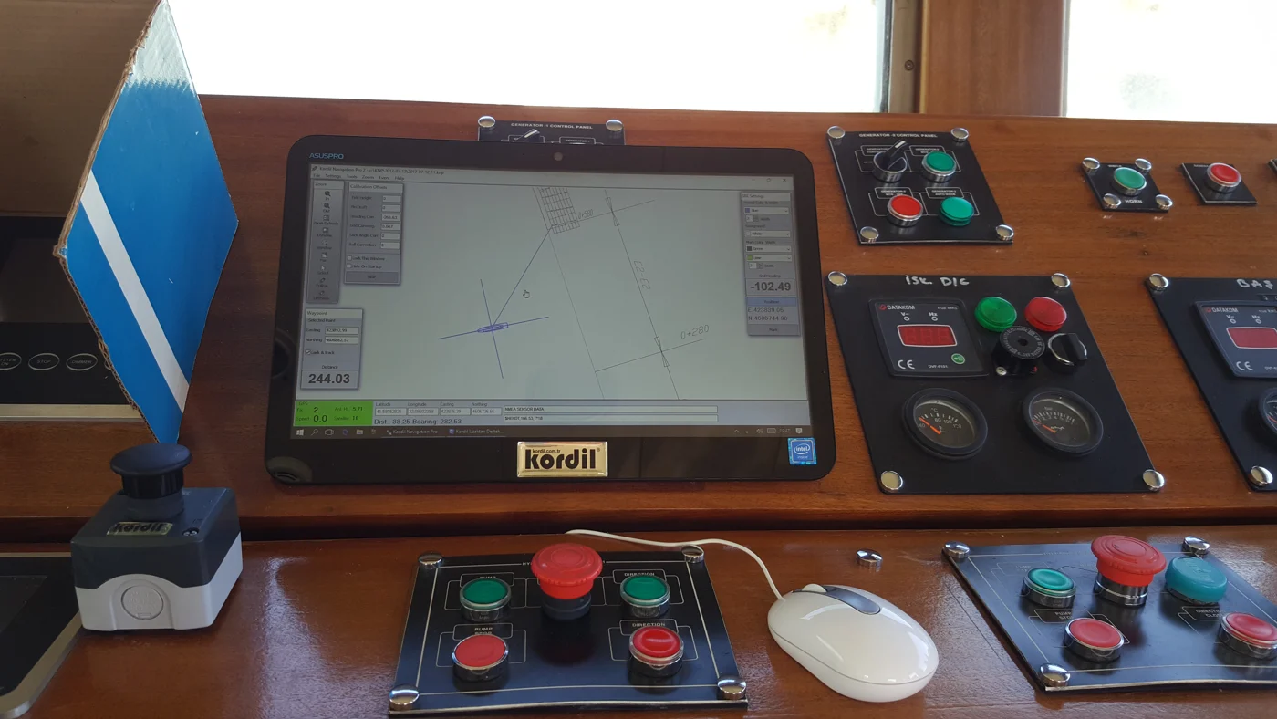
DXF and DWG vector drawings provide a project background. KNP supports WGS-84 and local datum definitions, Transverse Mercator projection, route creation and survey run lines. Basic objects can be added and edited within the CAD interface, with on-screen measurements supporting field decisions. Waypoint guidance and route tracking relate the current position to the planned work, helping the operator maintain a consistent view of design and progress.
2D display and application-specific systems
KNP can present three-dimensional position information in an accessible plan view. The screenshot on this page illustrates the 2D crane option. Kordil EPS for excavators and Kordil CPS for cranes belong to the same software family, with machine-specific sensors and guidance arrangements. Dredging, piling, barge positioning, rig moves, tugboat and anchor-handling operations use the edition and configuration suited to their work.
Key capabilities
| Project drawings | DXF / DWG; 2D and 3D vector data |
|---|---|
| Position and heading | NMEA messages; serial sensor input |
| Coordinate framework | WGS-84, local datum definitions, TM projection |
| Navigation tools | Routes, run lines and waypoint tracking |
| Recording | Time-stamped raw sensor data |
| Configuration | Selected for the platform, sensors and application edition |
Field applications and installation
Installation and commissioning
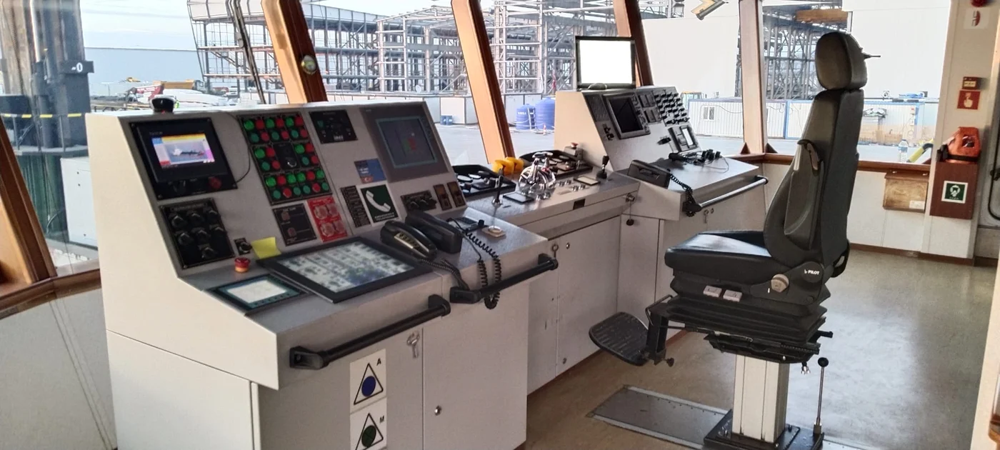
Commissioning includes measurement of antenna and sensor locations, definition of the project coordinate system and verification of incoming data. The operator view is configured around the required reference points. A practical trial confirms position, heading, offsets and recording together before production work begins.