
Positioning Systems
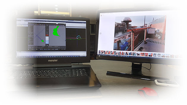
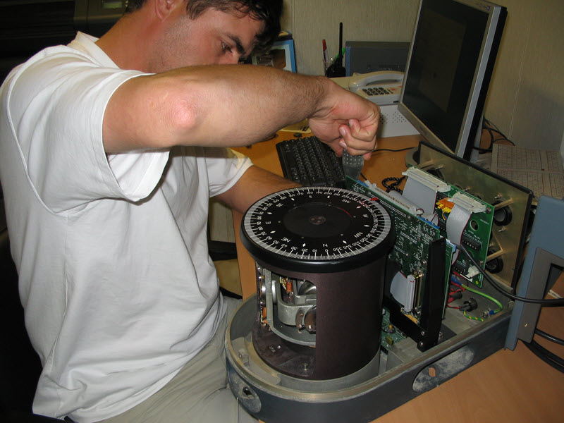
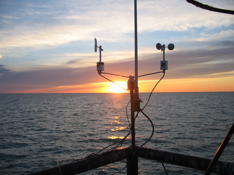
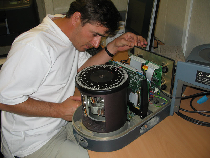
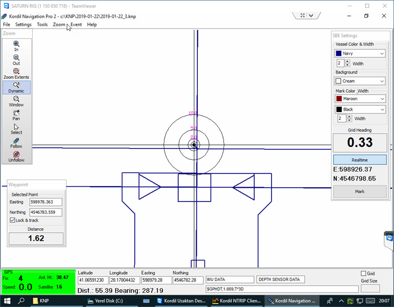
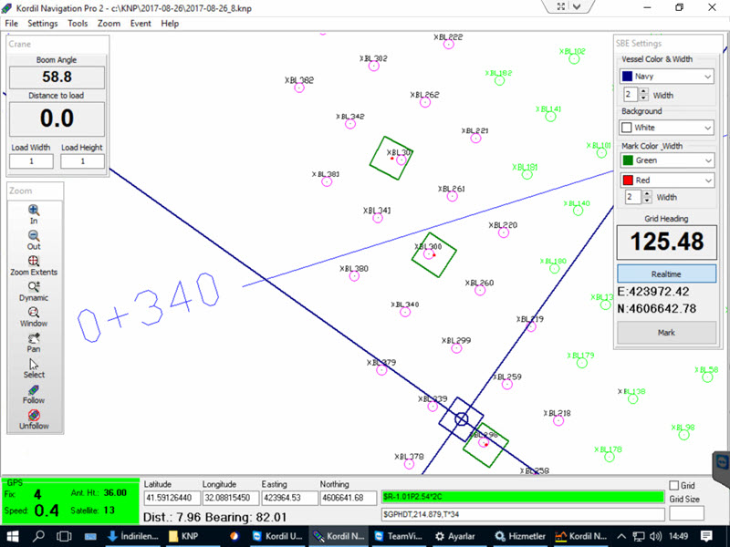
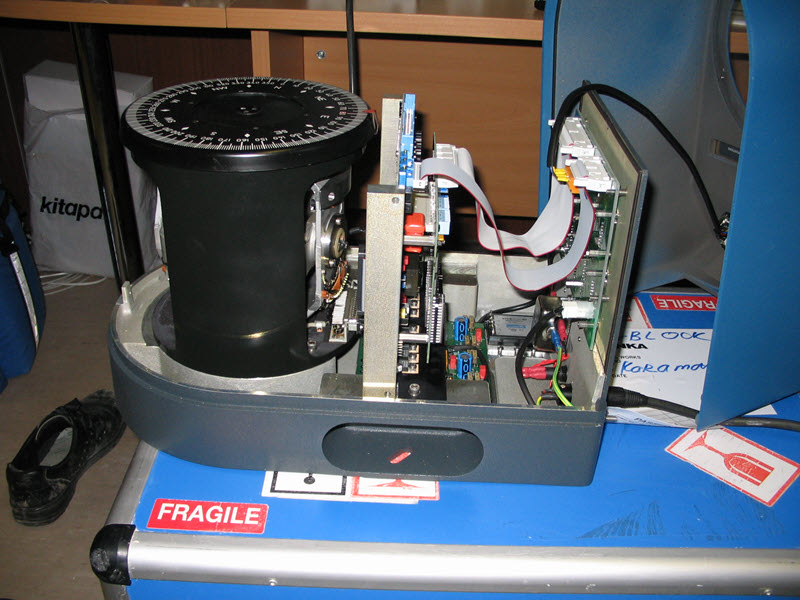
Kordil constantly develops positioning systems and offers them at affordable prices to the customers for onshore and offshore based projects. Our positioning systems are shaped according to the demands of our customers. Thanks to our own software and sensor inventory, we have no boundaries for developing new systems. The main base of all systems is Kordil Navigation Pro software and sensors. Kordil EPS and Kordil CPS software have the most sophisticated infrastructure and are a package where one-day training is enough for operators. Although they are home products, you can get support in your language and technical service. The systems are robust and durable unless they have mechanical failures in the machine they are installed, and they work for years.


Pictures & Screenshots


Kordil Positioning Systems constantly develops and offers affordable positioning systems for both onshore and offshore projects. These systems are tailored to meet customer demands and are shaped around the needs of the industry. Here are some key points about Kordil’s positioning systems:
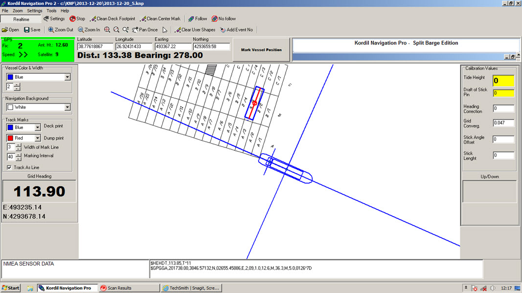
Kordil Navigation Pro Software and Sensors:
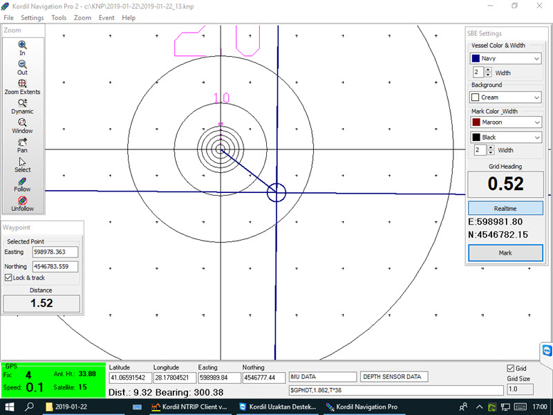
The foundation of all Kordil systems is the Kordil Navigation Pro software and sensors.
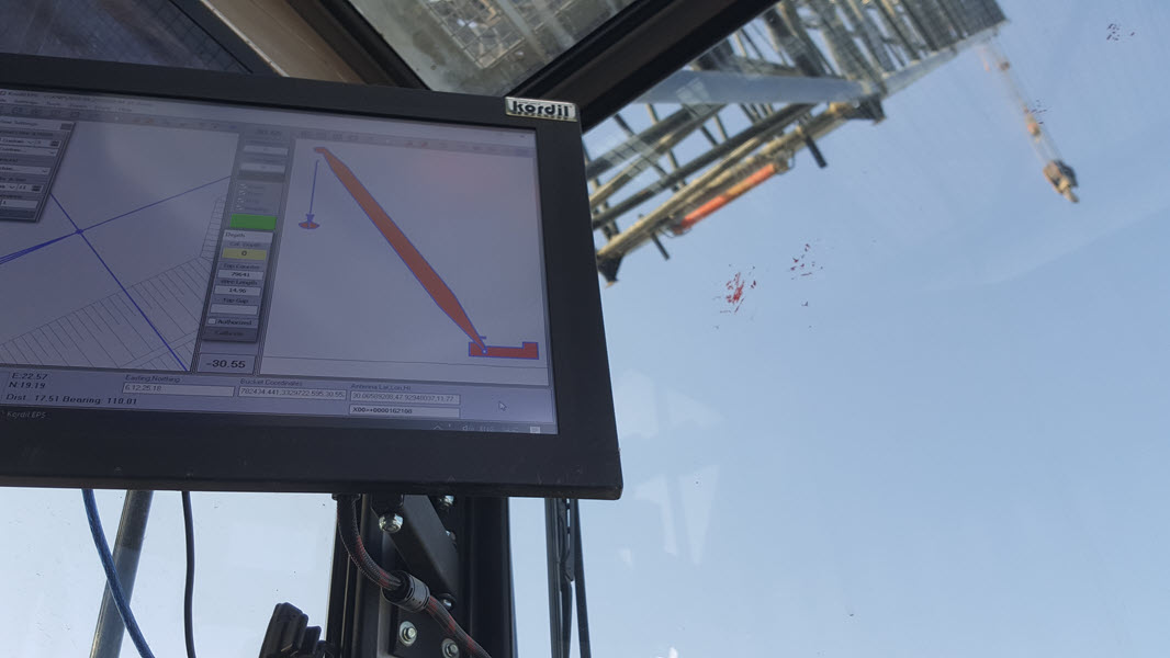
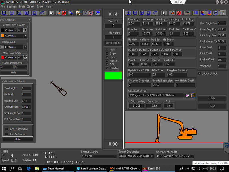
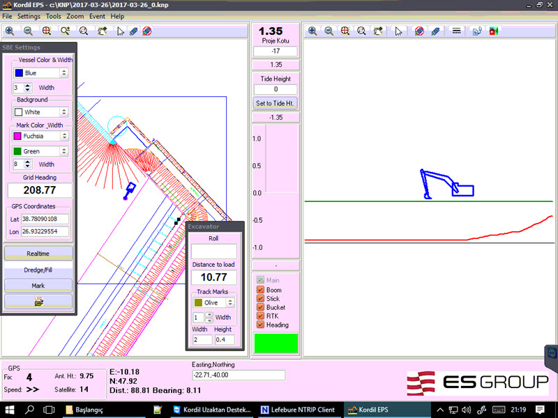
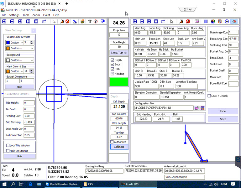
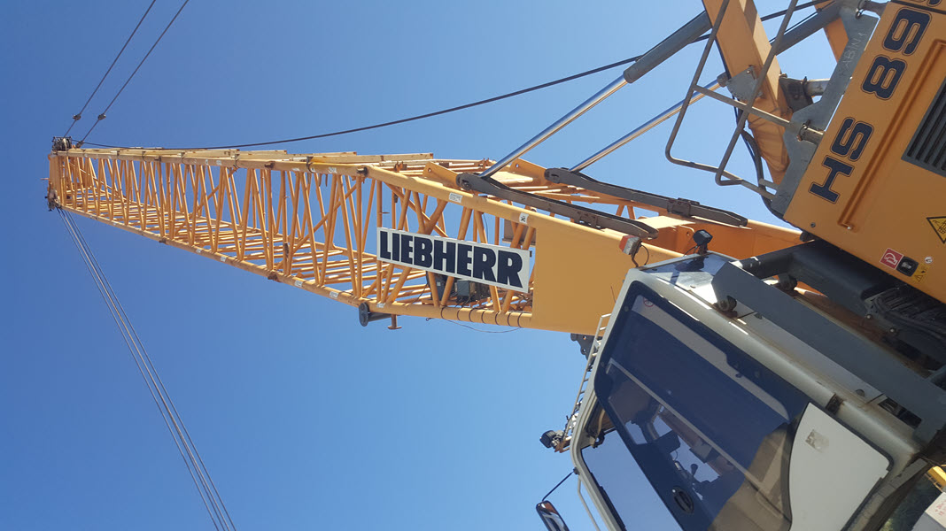
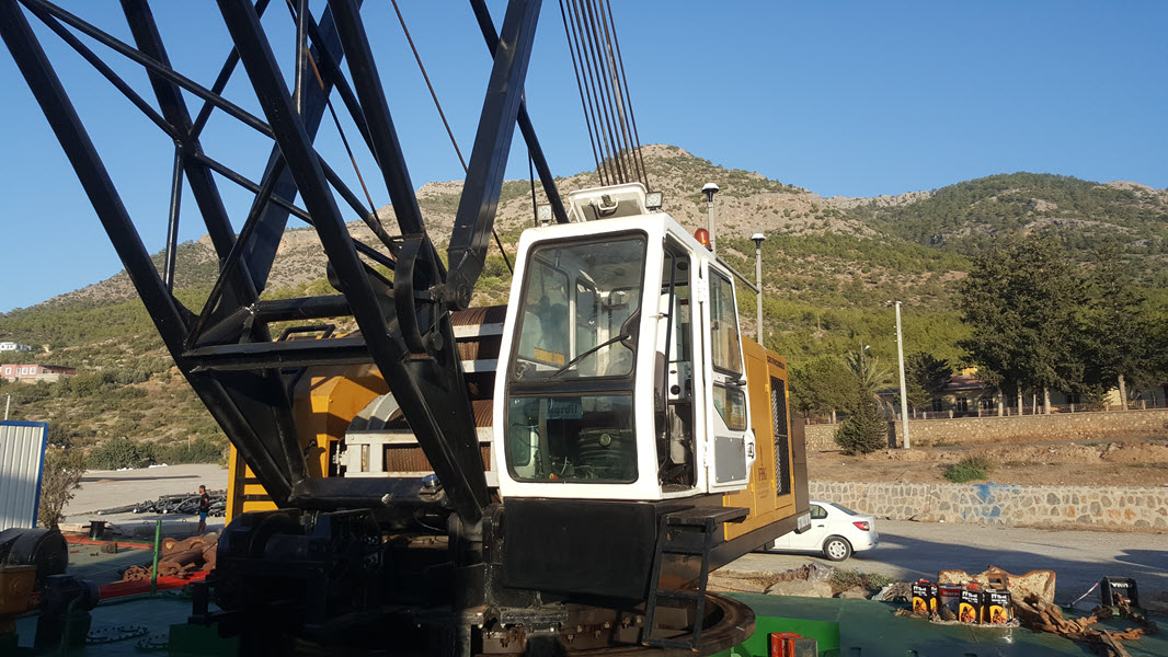
Kordil EPS (Excavator Positioning System) and Kordil CPS (Crane Positioning System) are part of this suite.
These systems have sophisticated infrastructure and are user-friendly, requiring only one day of training for operators.
Despite being homegrown products, they offer language support and technical service.
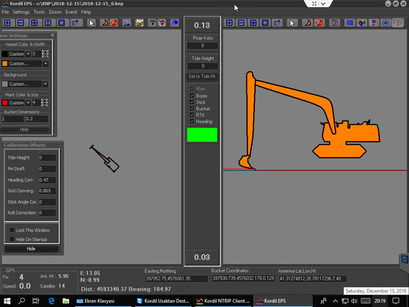
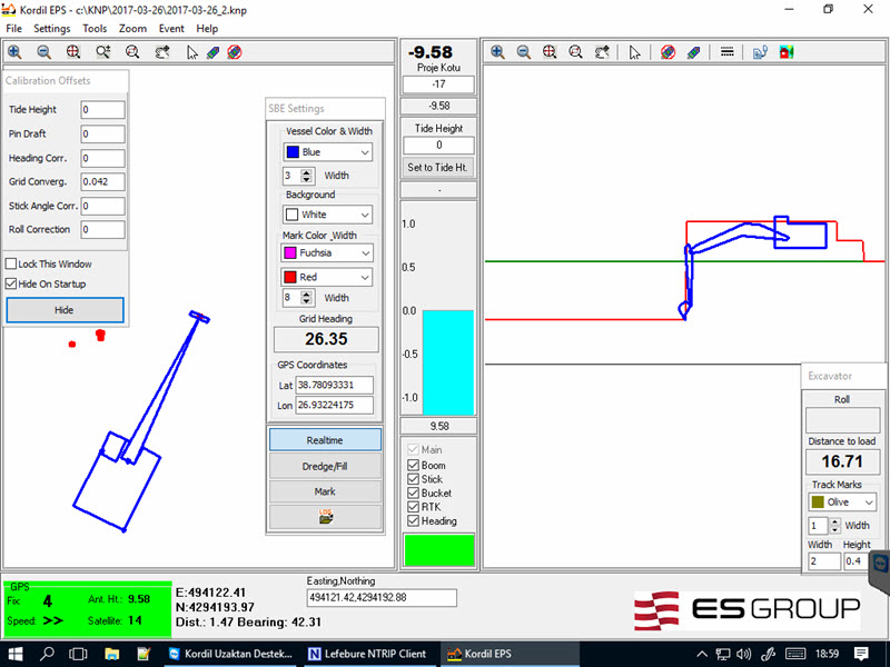
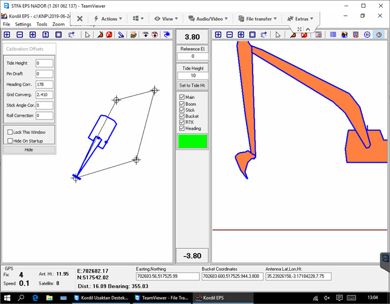
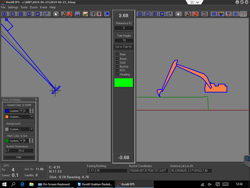
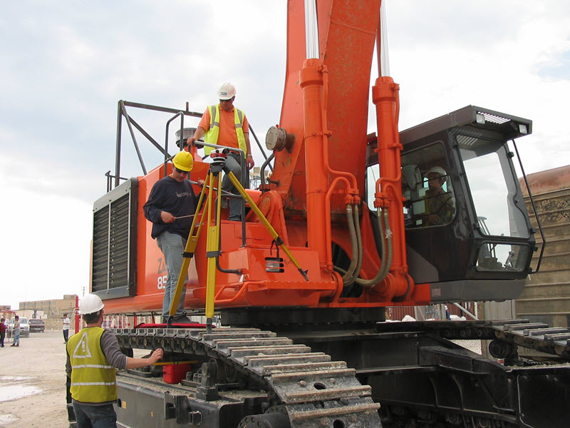
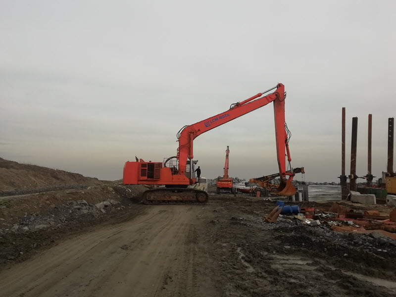
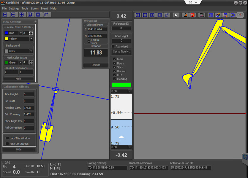
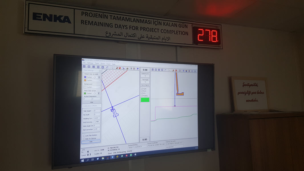
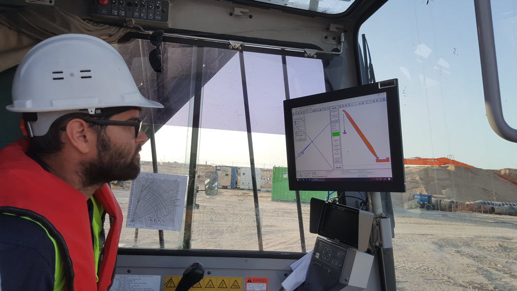
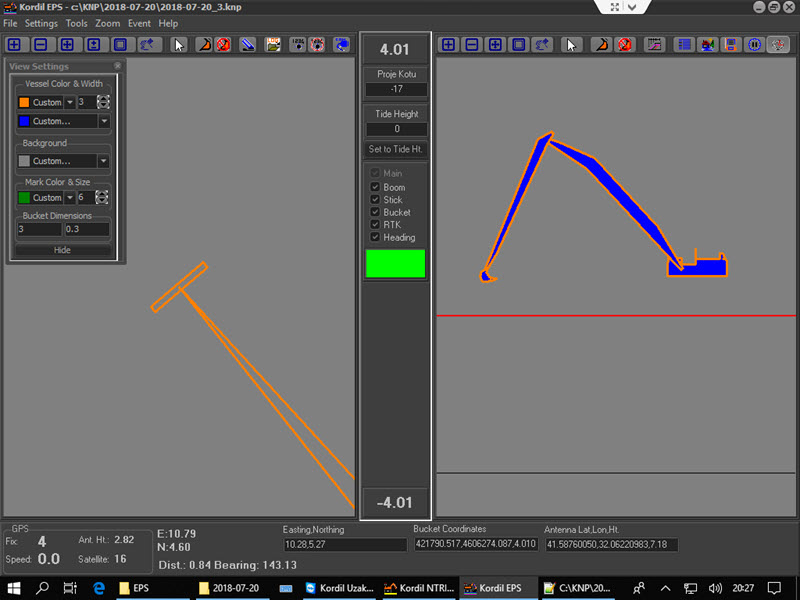
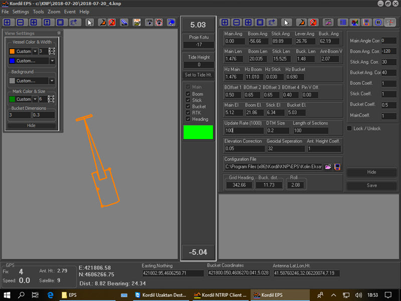
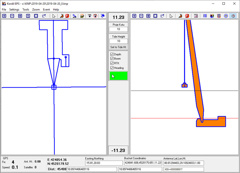
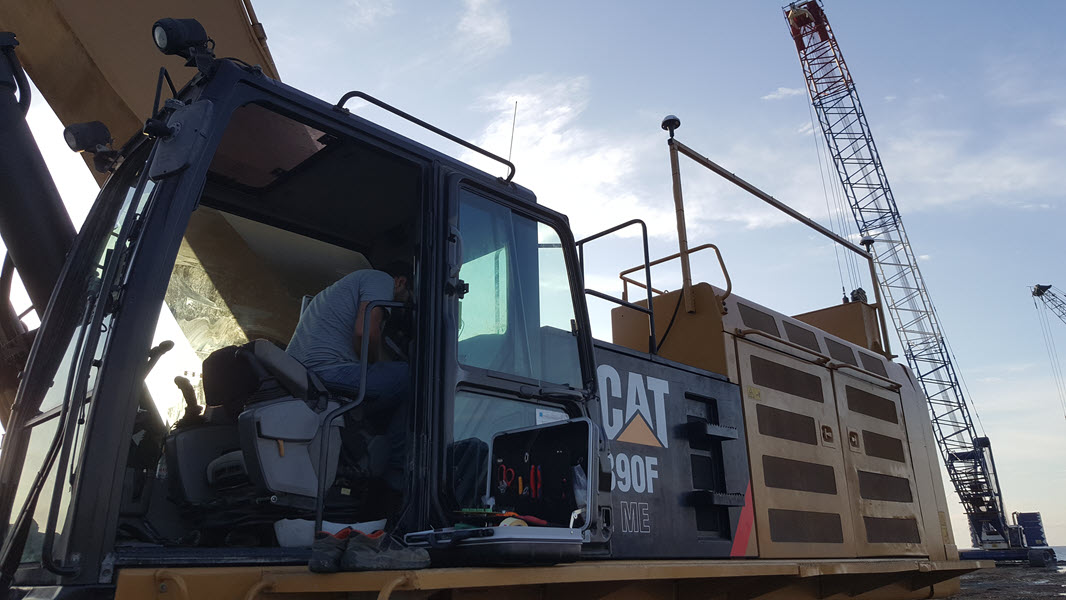
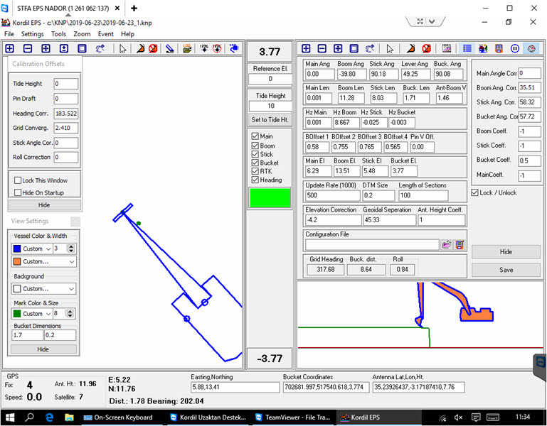
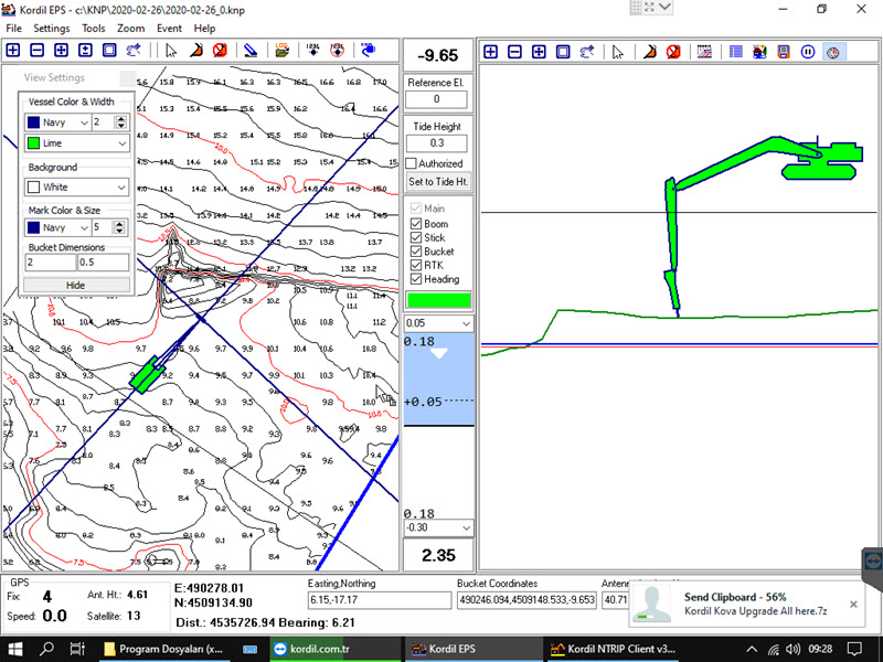
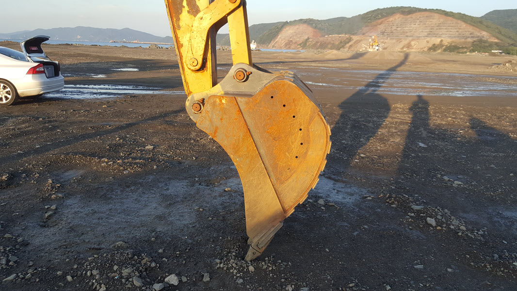
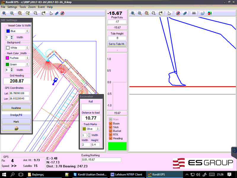
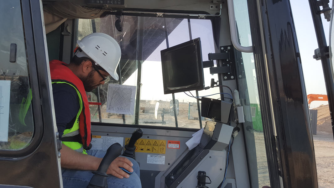
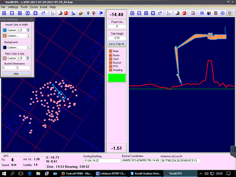
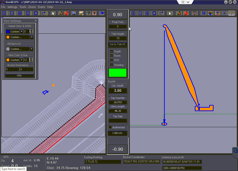
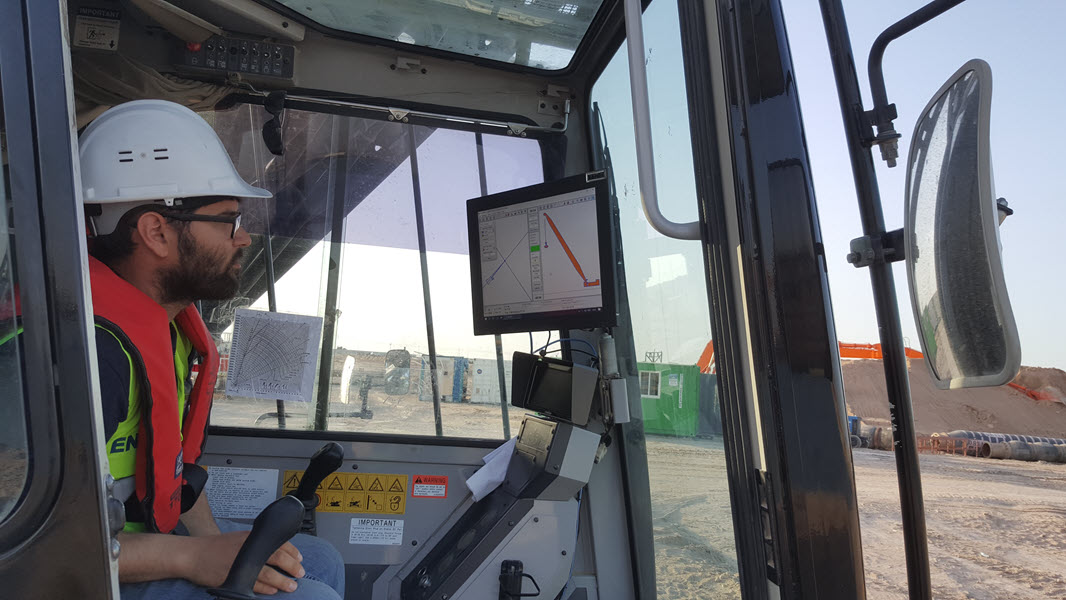
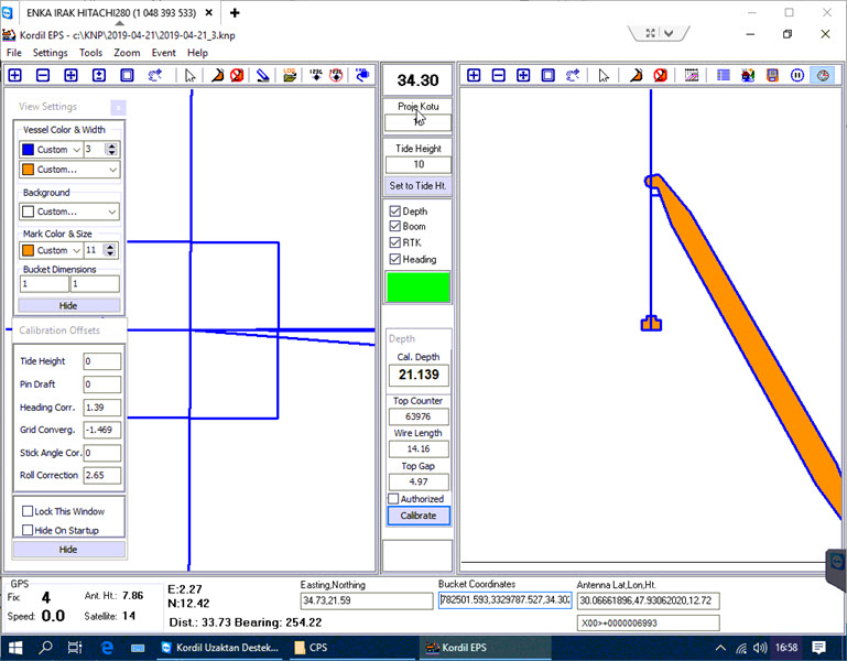
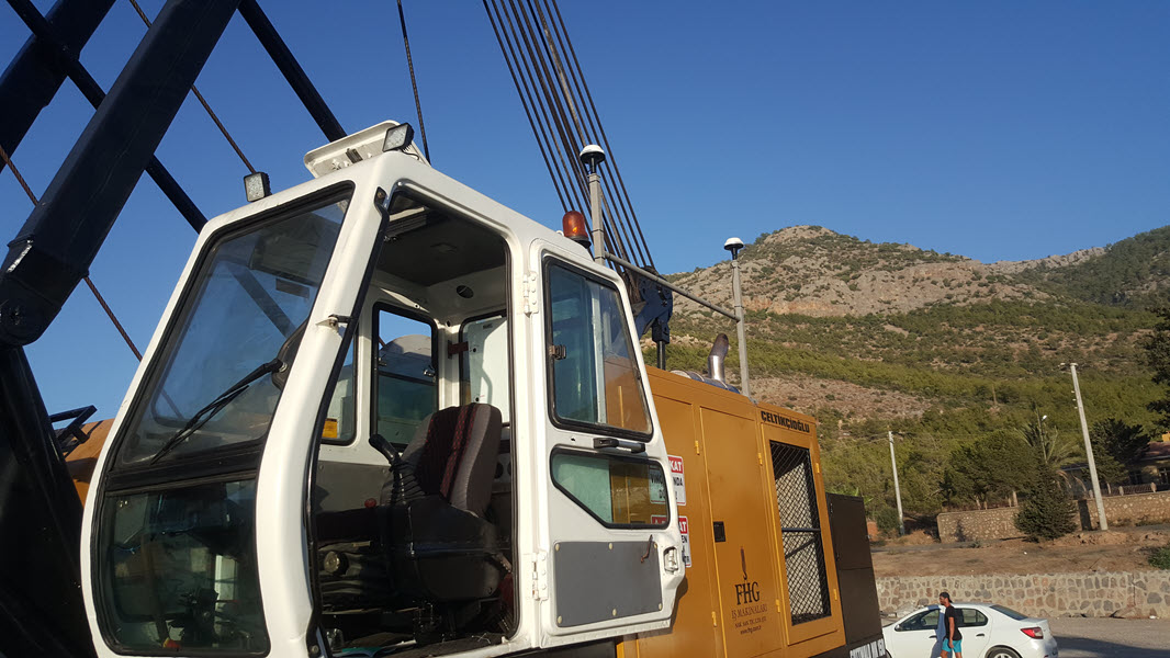
Kordil EPS (Excavator Positioning System):
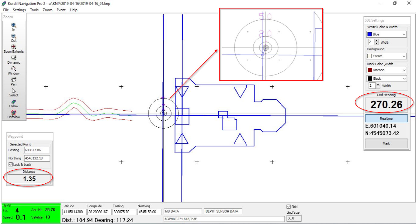
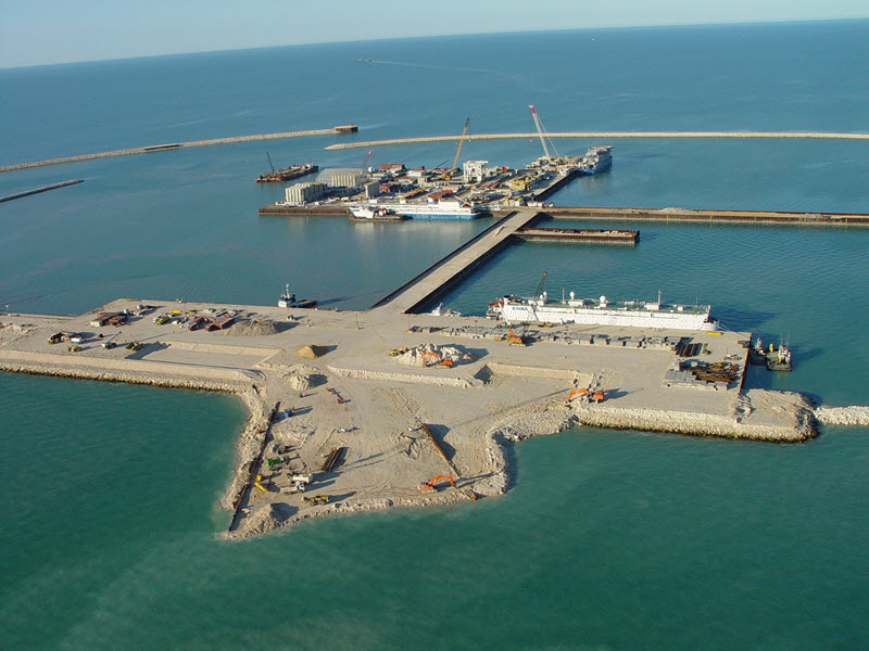
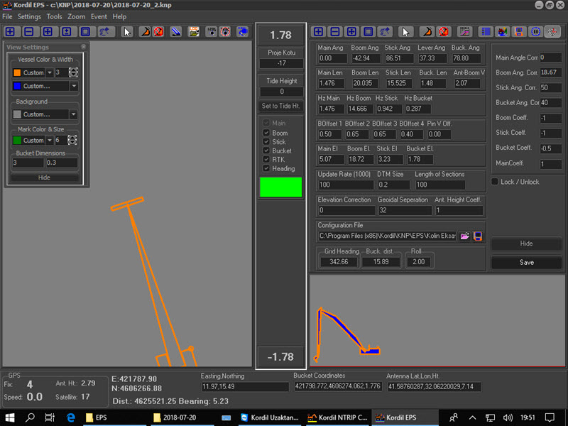
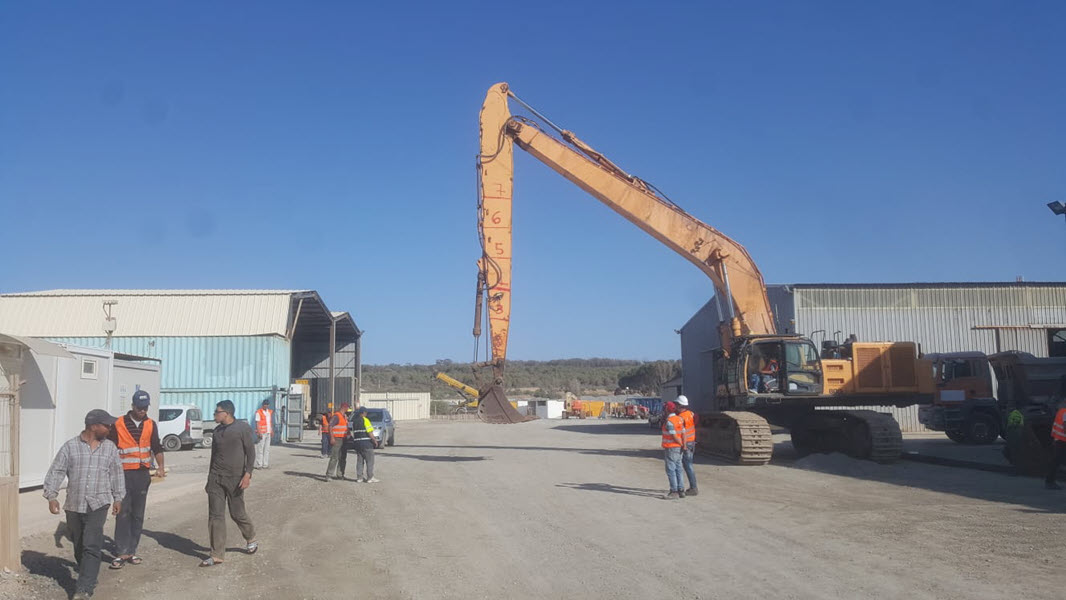
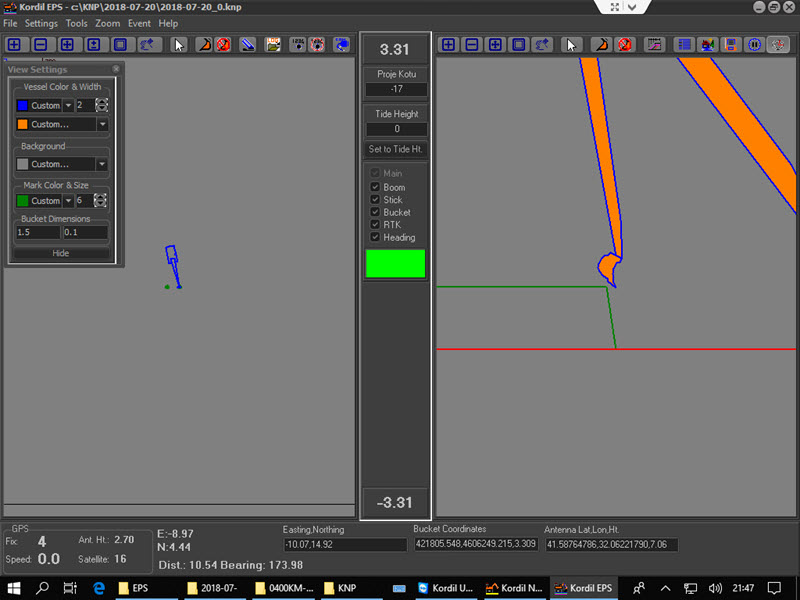
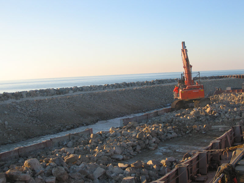
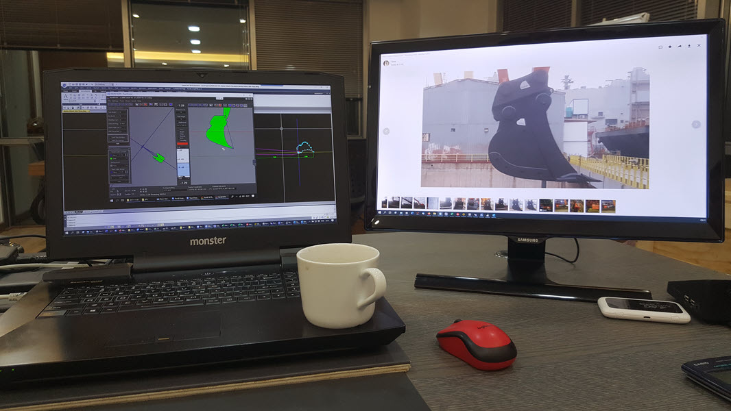
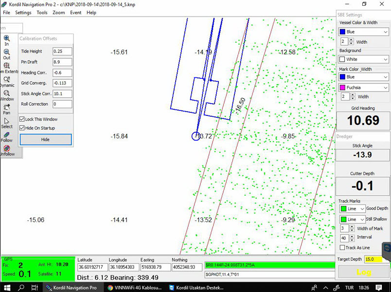
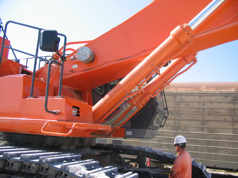
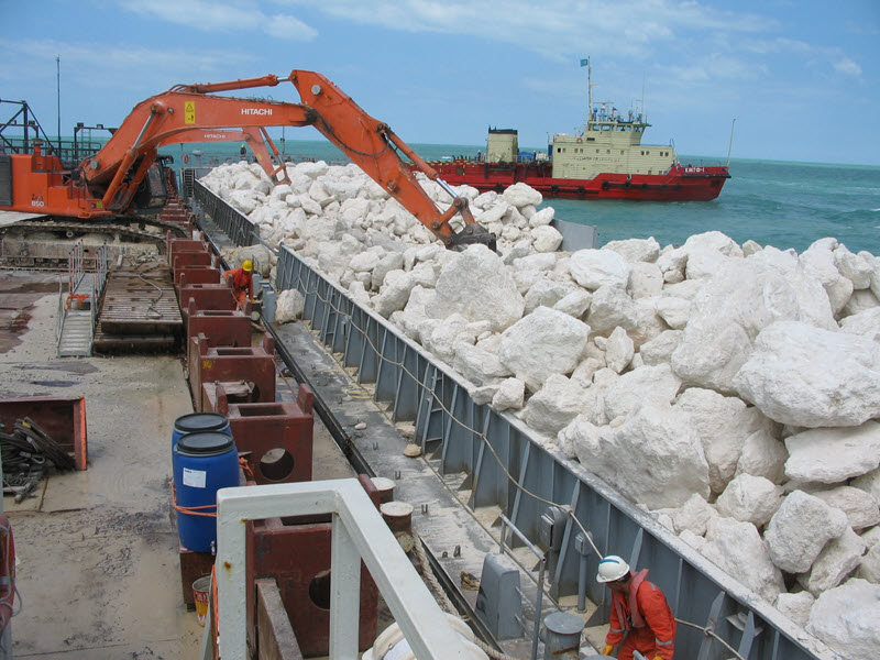
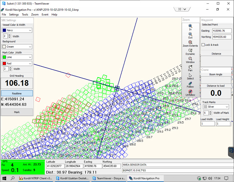
Kordil EPS is an integrated custom-fitted positioning system for excavators and dredgers.
It provides precision position information on a screen, presenting 3D data in a simplified 2D form (top and side view) for real-time operator understanding.
Operators can visualize design profiles and actual survey data during excavation12.
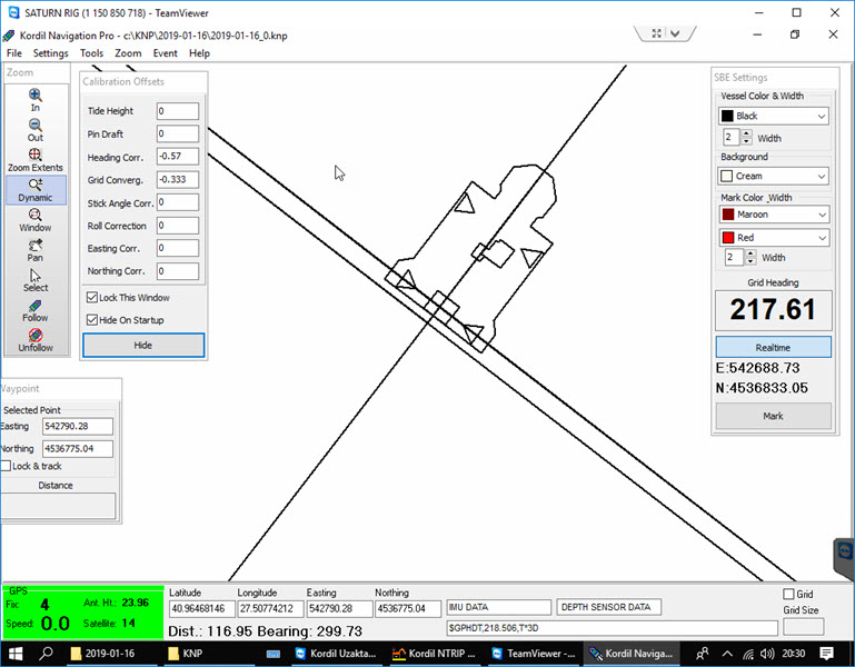
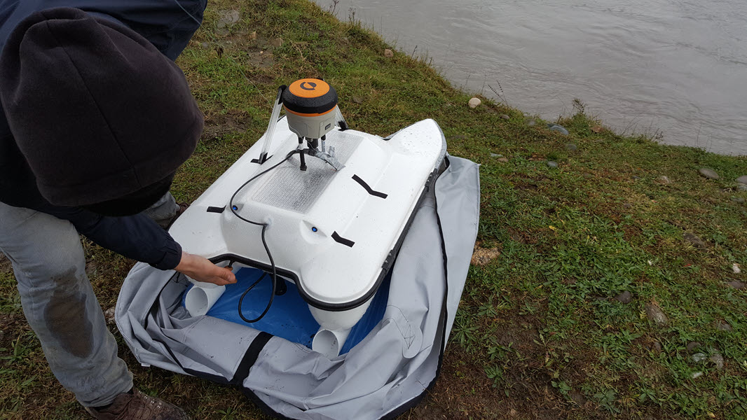
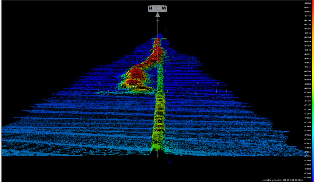
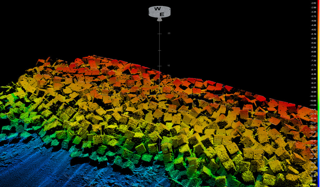
Kordil Bathymetry Studio:
Kordil offers the Bathymetry Studio, which is specialized software for bathymetry and navigation.
It allows efficient processing and visualization of bathymetric data.
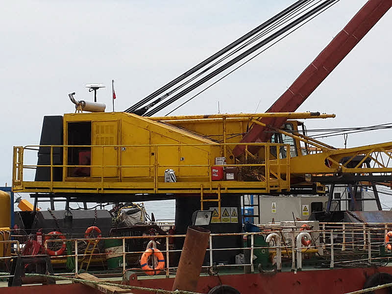
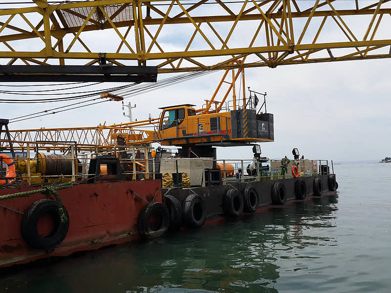
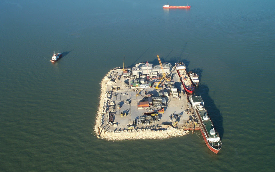
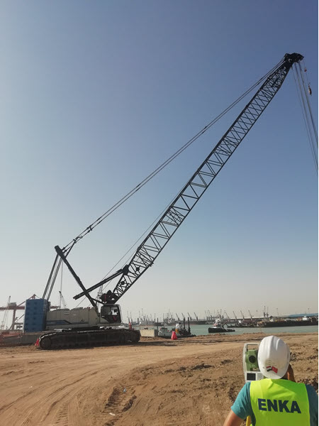
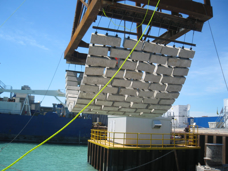
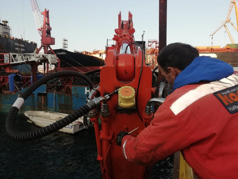
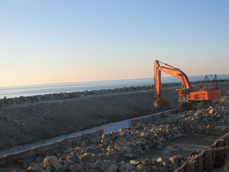
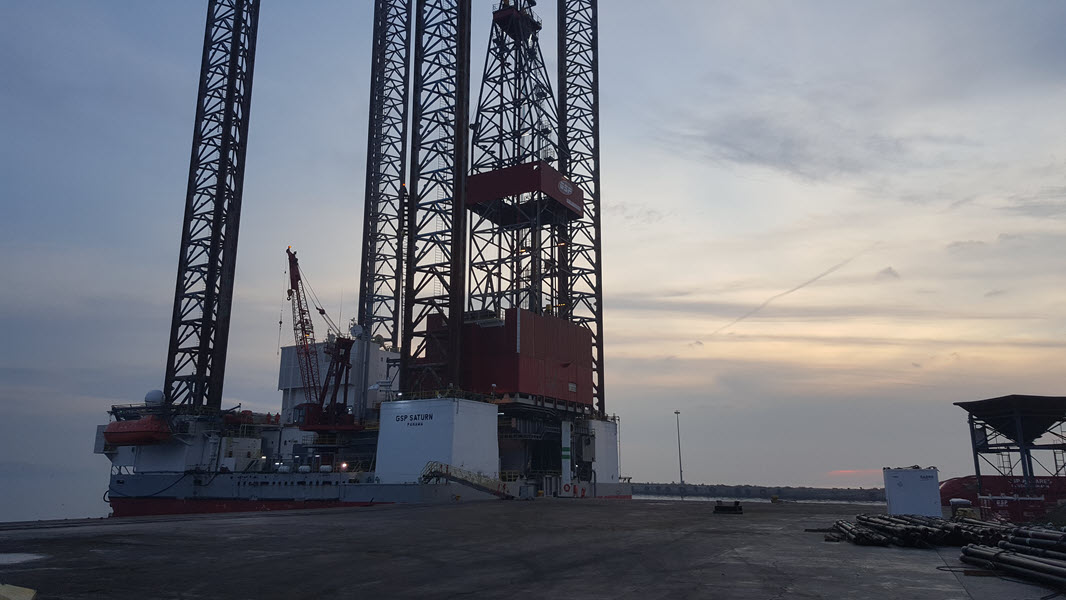
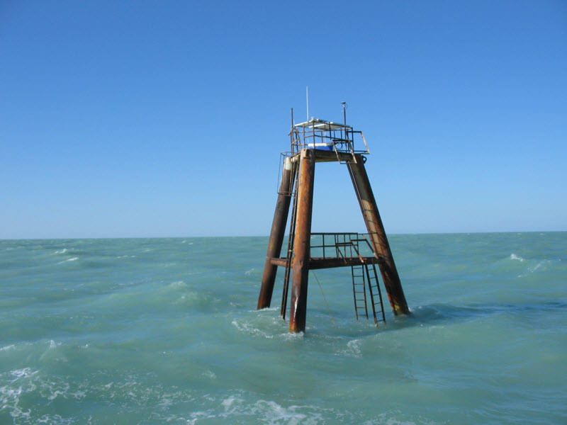
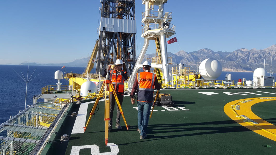
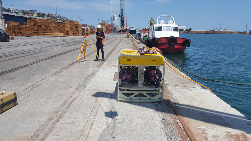
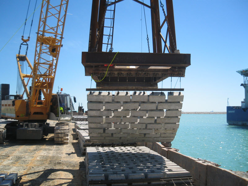
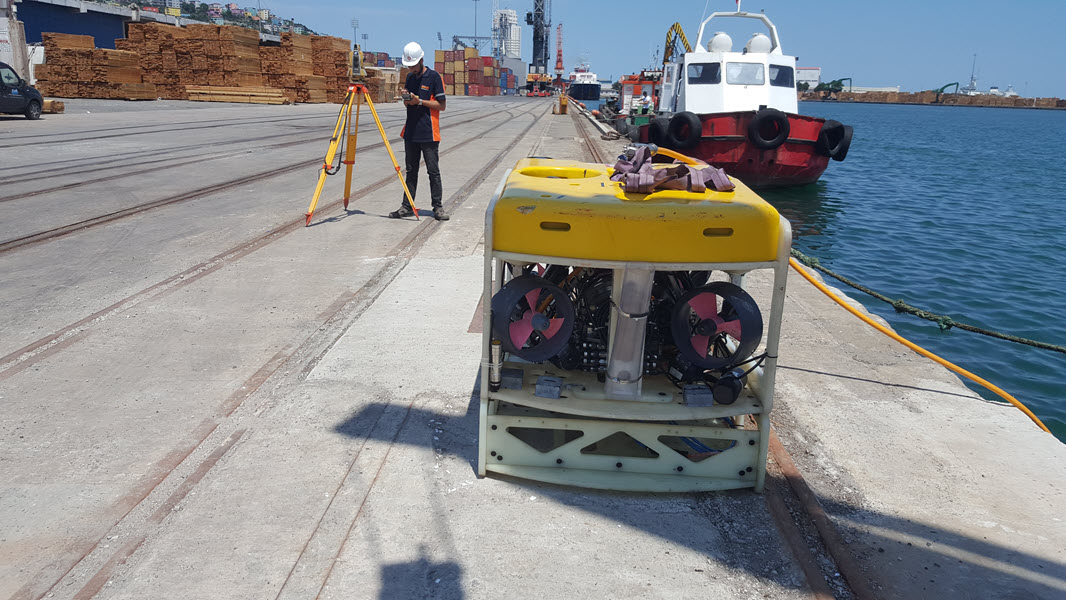
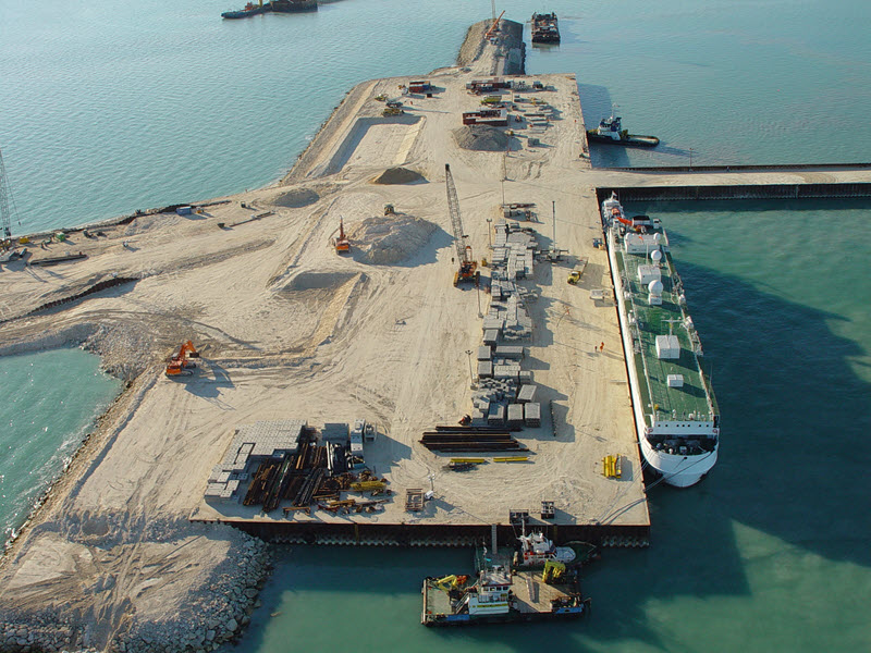
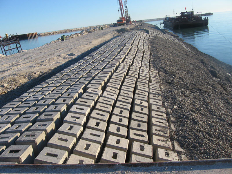
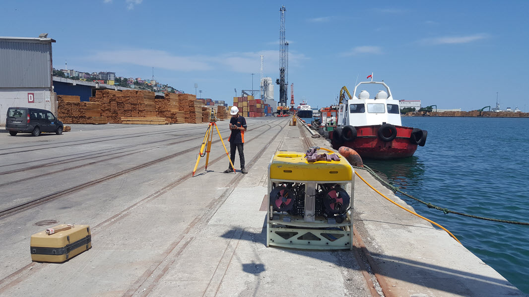
Offshore Industry Applications:
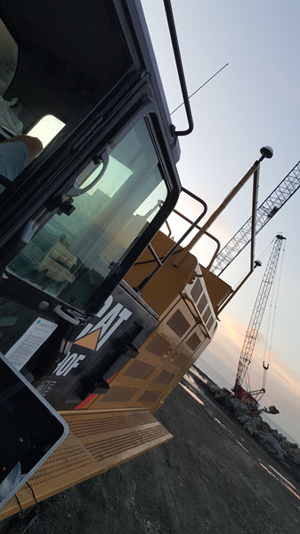
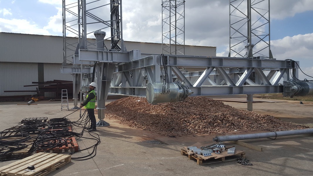
Kordil’s positioning systems are used in both land-based and offshore projects, including offshore rigs, platforms, and subsea robots.
The systems are robust, durable, and designed to withstand mechanical failures, ensuring years of reliable operation.
Kordil’s commitment to innovation and customer satisfaction makes it a trusted choice in the field of positioning systems for various industries.