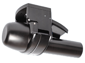
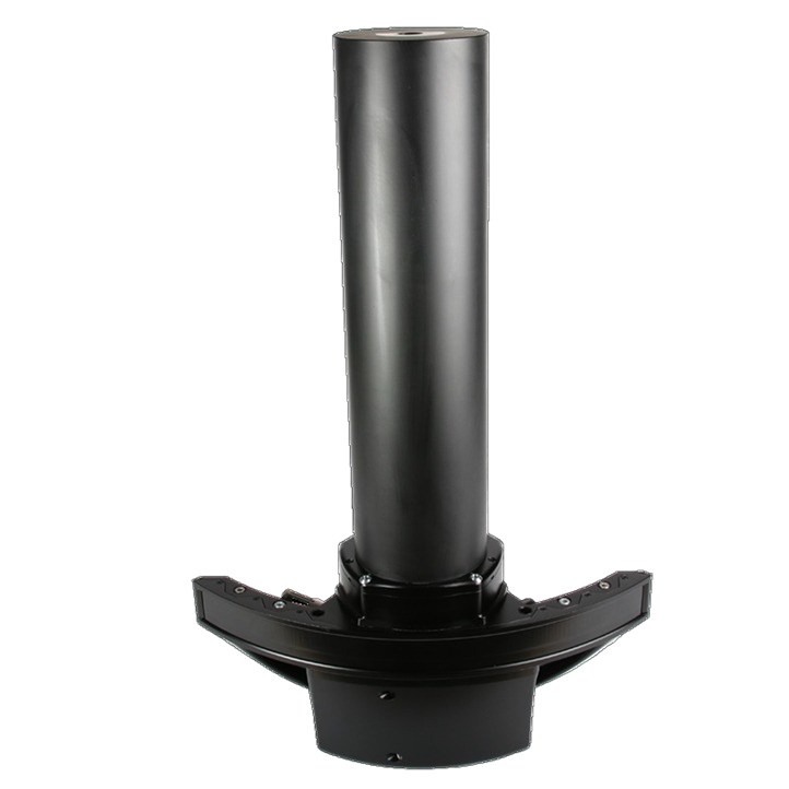
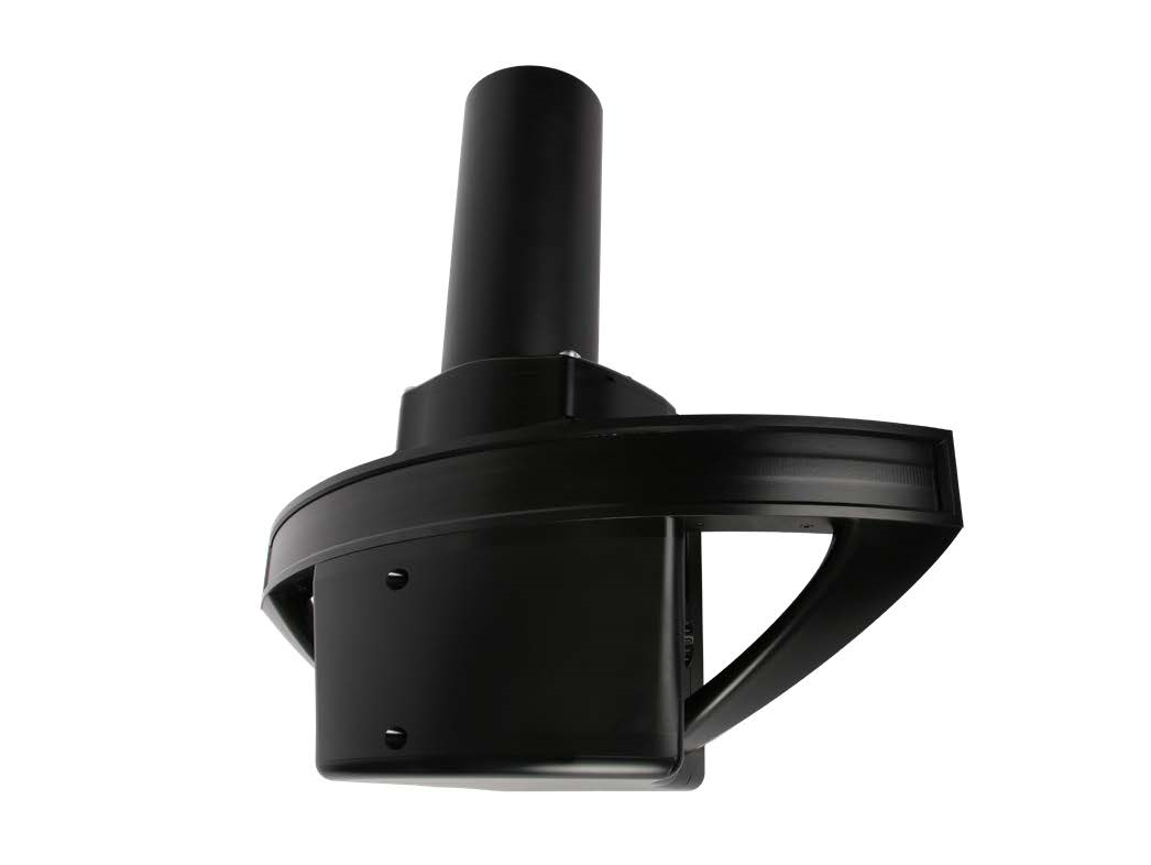
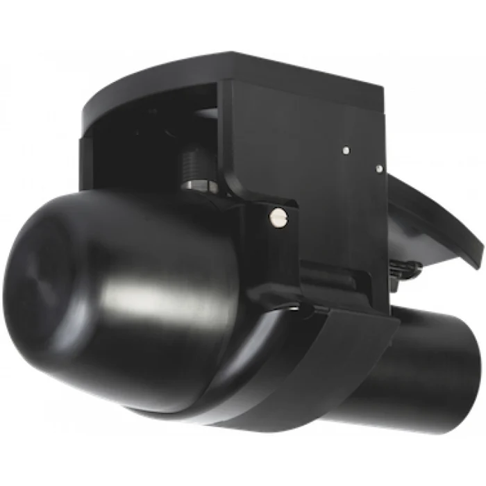
NORBIT multibeam sonar and marine survey systems
NORBIT Subsea systems address a wide range of marine measurement tasks, from shallow-water bathymetry and deep-sea vehicle inspection to forward-looking acoustic imaging and above-water laser scanning. Explore WINGHEAD and WBMS sonars, integrated iWBMS GNSS/INS systems, iLiDAR and iSBP with technical specifications and original manufacturer brochures.
Choosing a NORBIT system for your project
Start with the operating platform and the required deliverables. Mapping the seabed from a vessel or USV, inspecting a pipeline at close range from an ROV and imaging ahead in turbid water require different sonar arrangements. Acoustic range, beam width, swath coverage, motion correction and power requirements should be assessed together.
- Modular bathymetry: WINGHEAD X and WBMS X offer standard and Long Range versions, alternative GNSS/INS packages and application-specific configurations.
- Underwater vehicles: WINGHEAD B43, B44 and depth-rated WBMS BASIC models support ROV/AUV integration with model-specific pressure ratings.
- Medium and deep-water surveys: WINGHEAD B59S and the existing i87S platform address longer acoustic-range requirements.
- Integrated surveying: iWBMS, iWBMSe, iWBMSh, Ekinox, LR, Narrow Beam and Dual Head configurations serve different navigation and coverage needs.
- Imaging and complementary data: WBMS FLS provides forward-looking imagery, STX models support electronic scanning, iLiDAR adds above-water point clouds and iSBP records sub-bottom sediment profiles.
Marine survey applications
Typical applications include harbour and approach-channel surveys, dredging assessment, river and lake mapping, quay wall and bridge foundation inspection, and cable and pipeline route investigations. Repeat surveys support analysis of seabed change. Backscatter, water-column observations, laser scanning and sub-bottom profiles can complement bathymetry when appropriate to the project objectives.
Compare technical specifications correctly
Housing depth rating is not acoustic range. A pressure-rated sonar on a deep-sea vehicle can measure the nearby seabed; its deployment depth must not be read as a surface-to-bottom sounding range. Beam width varies with frequency, while GNSS/INS accuracy depends on the correction method and antenna spacing. Final survey quality also depends on sound speed, mounting geometry, synchronisation, calibration and processing.
Each product table identifies its source brochure revision. Original English PDF copies are available from Kordil. For earlier-generation equipment, check the installed hardware, licences and availability rather than assuming specifications from a newer product family. Kordil can help define a configuration around your vessel, water depth, target features and required survey deliverables.
Products and technical brochures
iWBMS Ekinox combines SBG Ekinox GNSS/INS with broadband multibeam sonar. Its compact arrangement supports mobilisation for shallow-water, harbour, river and coastal surveys.
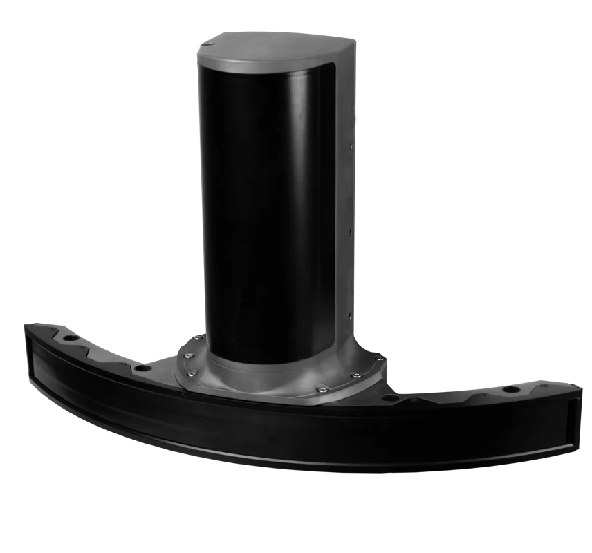
WINGHEAD i87S uses a nominal 100 kHz frequency with 70–240 kHz frequency agility for medium-depth bathymetry. Applications include offshore mapping, geological surveys and preliminary cable and pipeline route investigations.
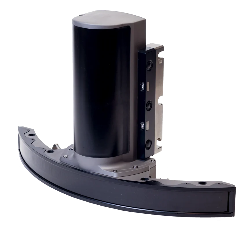
WINGHEAD i80S combines a curved sonar array with OceanMaster GNSS/INS. The narrow across-track beam supports investigation of vertical and complex surfaces such as quay walls and bridge foundations.
iWBMS combines WaveMaster II navigation and broadband sonar in an integrated survey package. Harbour, river, lake and coastal bathymetry benefit from reduced mechanical integration of separate sensors.
iWBMS LR combines integrated navigation with a nominal 200 kHz sonar for longer-range bathymetry. Applications include route surveys, coastal mapping and deeper channel measurements.
iWBMSe combines broadband sonar with SurfMaster navigation for harbour, lake, river and nearshore surveys. Expected vessel motion, heading performance and attitude accuracy should be assessed together.
iWBMSe LR combines SurfMaster GNSS/INS and broadband sonar in a long-range configuration. Its nominal 200 kHz frequency provides a different range and beam-width balance from 400 kHz models.
iWBMSh combines sonar observations with OceanMaster GNSS/INS position and attitude measurements. The integrated platform supports coastal and offshore bathymetry, pipeline surveys and structure inspection.
iWBMSh STX combines OceanMaster navigation with electronic scanning capability. Quay piles, bridge foundations and underwater structures can be observed from different viewing geometries.
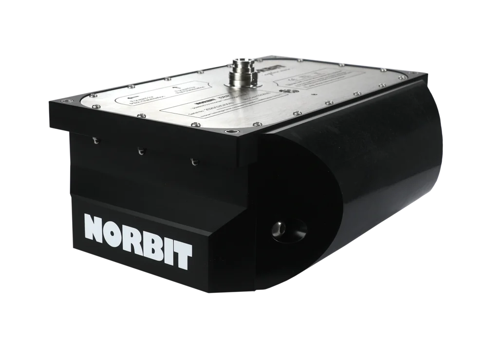
WBMS BASIC is suited to installations where position and motion sensors are selected separately. Ethernet connectivity, an integrated sound-speed probe and broadband signal processing support vessel, USV and underwater-vehicle integration.
WBMS STX addresses electronic scanning and three-dimensional underwater imaging in installations using external navigation sensors. Structure inspection, dredging monitoring and fixed-position target observation can be supported by separately selected position and motion systems.
WBMS FLS provides forward-looking acoustic imagery to help identify underwater objects and obstacles. Compact and Wide versions address different mounting and field-of-view requirements.
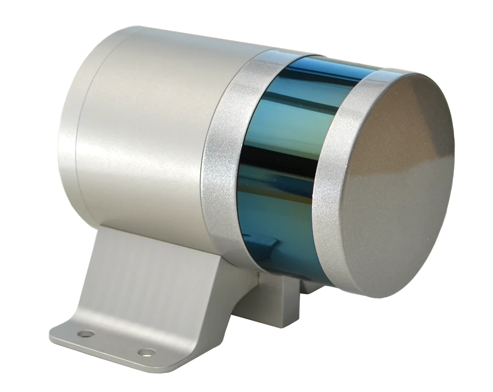
iLiDAR adds an above-water point cloud to multibeam surveys, helping model visible parts of quay walls, shore slopes and bridges. Power and time synchronisation through the sonar interface unit support data acquisition in a common coordinate system.
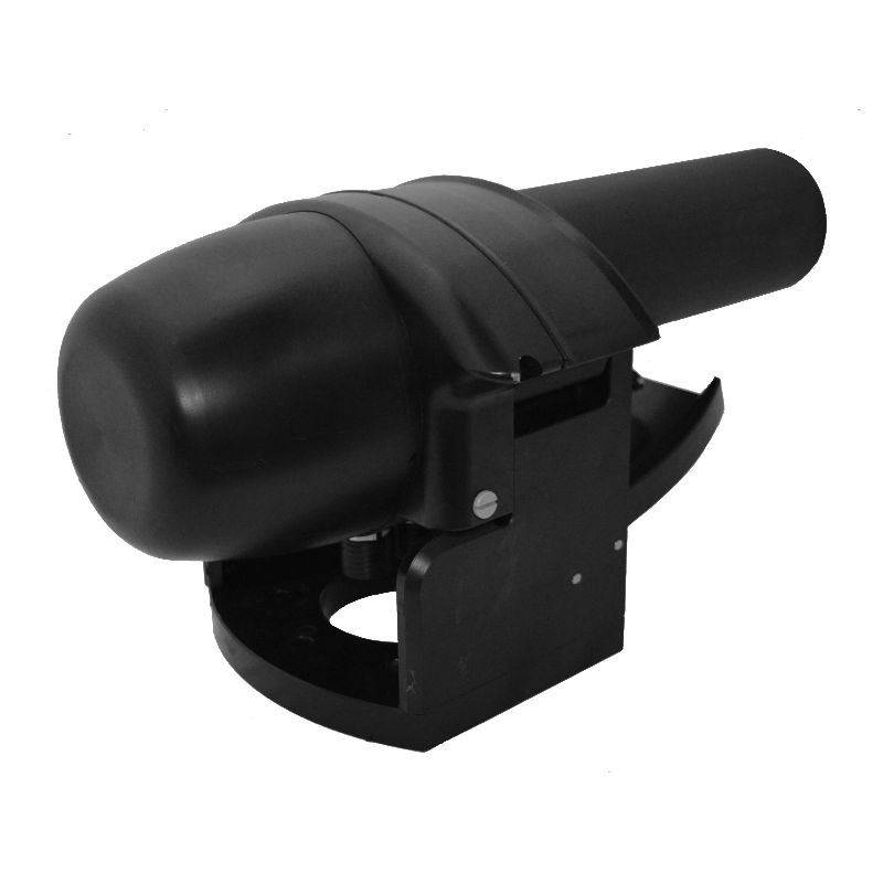
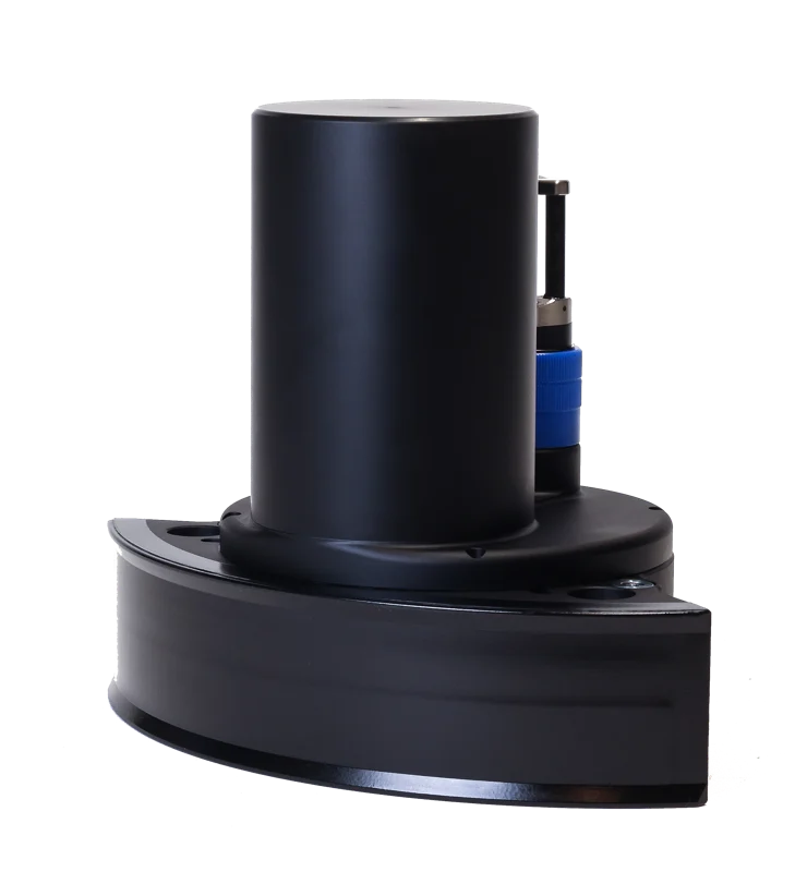
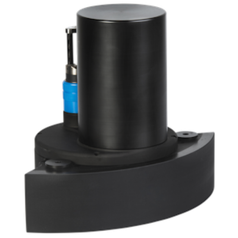
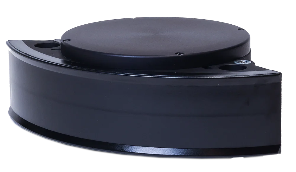
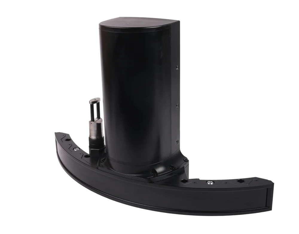
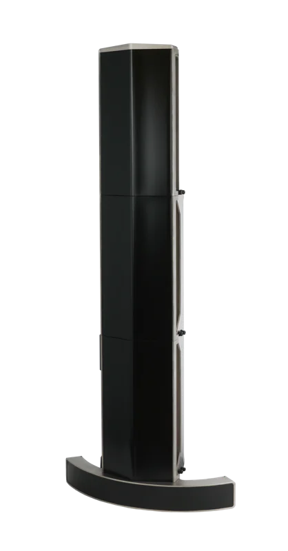
WINGHEAD X combines a curved sonar array with a choice of navigation and stabilisation packages. Its narrow receive beam supports detailed mapping around quay walls, bridge piers and complex seabed features.
WBMS X supports research vessels, small survey boats and unmanned surface vessels. The sonar and GNSS/INS package can be configured for the operating environment, with Long Range, increased beam density, dual swath and stabilisation options.
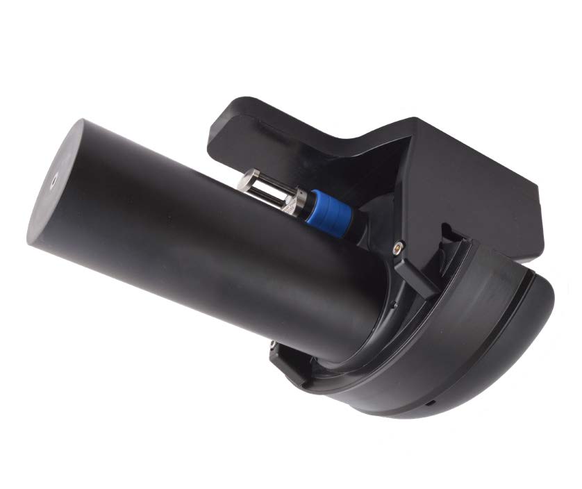
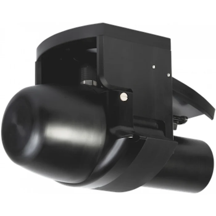
WINGHEAD B43 is designed for high-resolution bathymetry from underwater vehicles, with a 1,500 m housing depth rating. Pipeline, cable and subsea structure surveys require the sonar observations to be matched with vehicle position and attitude.
WINGHEAD B44 Deep Sea is intended for ROV, AUV and deep-towed survey platforms. Its 4,500 m and optional 6,000 m pressure ratings describe the instrument deployment depth.
WINGHEAD B59S combines 60 kHz operation for longer range with 200 kHz operation for a smaller acoustic footprint. Applications include offshore mapping, geological investigations and preliminary cable and pipeline route surveys.
iSBP integrates with WINGHEAD X or WBMS X to investigate the seabed surface and underlying layers within a common georeferenced workflow. Coastal geophysics, sediment characterisation and shallow buried-feature investigations benefit from interpreting both datasets together.
Narrow Beam is an iWBMS configuration that reduces the along-track beam width. A 0.9° × 0.9° beam at 400 kHz reduces the acoustic footprint for examining small objects and structure edges.
An iWBMS Dual Head installation combines observations from two sonar heads to provide coverage suited to the vessel geometry. Each head requires its own offset, angular alignment and timing checks.