Surveying - Land Survey Company & Construction Survey Company
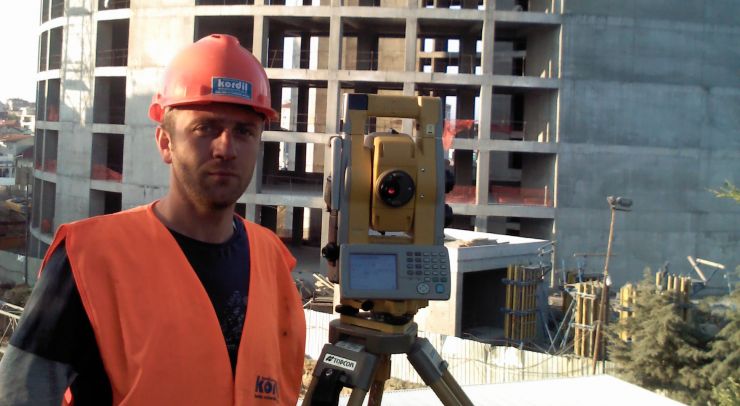
If you are looking for a land survey company or a construction survey company for land development, engineering design, setting out, and asbuilt we are ready to serve you. We provide top quality surveying services for industrial plants, power plants, business centers, bridges, airports, highways, railways, pipelines, underground & infrastructure projects, mining and research projects. Kordil also utilizes best in class high-tech systems and qualified and well experienced personnel for our services. Kordil has a special team of management experienced in international companies with cutting edge reputation and national and large international projects. Gathered all experiences and background to give fully focused surveying services to everyone who is willing to get service trouble free. Our teams are dedicated to providing indeed trouble free services at a competitive price. Contact Us
Survey Teams & Equipment for Long and Short Term
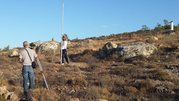
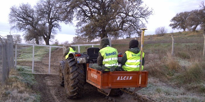
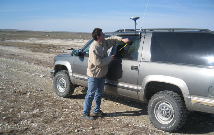
Besides land and construction surveying services, Kordil provides dedicated personnel and equipment to perform surveying tasks for small or large projects in short terms or long terms. We are also establishing a working surveying setup that makes it easy to carry out most of the missions without need for high experienced and expensive survey personnel. Also, utilizing smart and high tech surveying equipment avoids reworks and assures top quality survey services which are essential for all construction projects. We are not only serving to local market but also serving to a foreign market for short and long terms projects. Should you need personnel experienced in below disciplines please contact us.
- Land & construction surveyors
- Geodesists
- Instrument operators
- GIS data collectors
- Data processors
Third Party Quality Assurance
We are providing services for quality assurance to verify subcontractors' work and report it to Company that own the project. Nowadays, modern arts use several complex shapes in their construction structures and requires utmost care for surveyors to set out every piece of shape for construction personnel. The subcontractors who are qualified to do such complex structures usually do not have same experience of survey personnel which causes quite some risks for construction health. Those handled by daily survey personnel may cause some critical issues that are usually noticed in late stages. To avoid such critical setting out and surveying activities, we are offering surveys a few days in a month time to come and do additional surveys for verifications. Kordil has vast experience in such services and already prevented several issues that would end up with major issues.
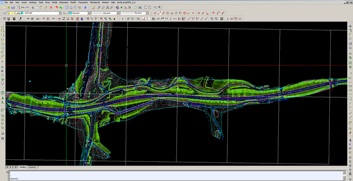
Mobile Mapping
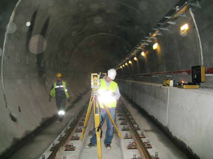
Kordil uses its proprietary software packages for mobile mapping to acquire geospatial data used for GIS, road mapping, topographical surveying, dimensional control, and as-built surveys for roads, and railways. The positioning system uses fully equipped GNSS, INS, Speed Meter, Gyroscope and optional total stations. The survey system is designed to work in tunnels, depending on requirements.
Smart Mapping & GIS Integration
Kordil performs GIS integration of existing geospatial data with non-spatial data and generates smart maps. Those maps are used by introducing a large area sometimes an inner arrangement of a shopping center, a building, or a museum.
We are providing services:
- Production of smart mapping for visitors
- Data analysis and GIS integration
- Combining data from different origins and resources
- Spatial and non-spatial data collection
- Raster to vector conversion
- Coordinates transformation
- Geographical data analysis
- Data modeling and visualization
- Data automation and server
- Programming extensions to GIS software packages
Cadastral Surveys and Official Mapping
Most infrastructures use official maps and charts for design and process. Those charts and maps are usually originated from government offices and performed by surveyors registered. Kordil is eligible of performing surveying related to city planning, rural and urban planning, geotechnical study, or any other activities that are approved by government.
Kordil is also eligible to perform boundary surveys and set out for implementation of rural and urban planning and cadastral services. We also provide services:
- Topographic mapping
- Setting out parcels and construction boundaries
- Joining and splitting cadastral parcels
- Usage map of cadastral parcels
- Registering cadastral data
- Expropriation (nationalization of private properties)
- Boundary surveys