Geophysics & Underwater Research
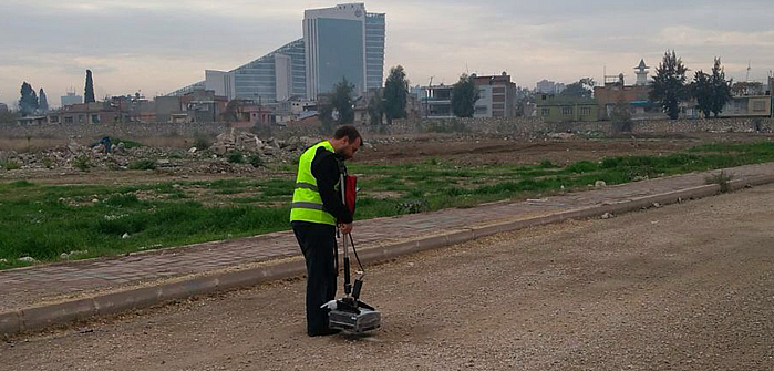
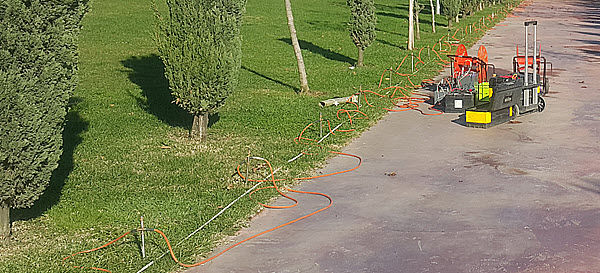
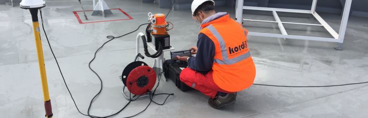
We perform geophysical investigations for offshore and land. Offshore geophysical surveys are given under offshore sections. Kordil utilizes geophysical research for underground structures, uses georadar systems, makes research for archeology, occasionally performs research for mining, and more for site clearance to avoid interfering with crossing lines and unwanted buried objects or lines.
As summary:
- Locating underground structure
- Buried pipeline inspection
- Research for mining
- Archaeo geophysics
- Research for site clearance and unexploded ordnance
- Research for crossing objects
Research for Underground Structures
Prior to construction activities and excavations on an area, we perform underground surveys for locating existing infrastructure with missing as-built information and having no indication of presence on site. Not only existing objects within the site, but we are also locating crossing lines from the site to avoid accidents and incidents during execution of construction process.
Archaeo Geophysics
We carry out research studies to protect the cultural heritages that are present under the ground
for projects of bridges, highway routes, mining areas or construction projects planned to be built. In our works, we use seismic electrical ground radar (georadar) and magnetic systems to determine our cultural heritage in a way that will not be damaged. By integrating the detected objects with geodetic location data, we register them without touching them.
Site Clearance & Search for Unexploded Ordnance (UXO)
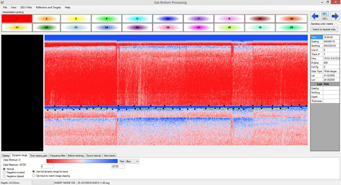
We perform geophysical surveys in order to determine the presence, distribution and orientation of the mine reserve in order to open a new mining facility or to improve the existing one. In our studies, we use seismic, electrical resistivity, natural potential (SP), gravity, magnetic and ground radar surveys according to the characteristics of the ore being investigated. After two-dimensional and three-dimensional (2D and 3D) modeling studies, we make reserve calculations. From time to time project sites have been used for military purposes or there may be deliberate or involuntary ammunition residues due to terrorism, war and other reasons. Although there are not many in our country, there are such risks in all areas that have seen World War II. In such areas, it might be necessary to make an investigation before construction or similar civil works. We use ground radar and magnetic methods in buried underground military ammunition research. After scanning the area with the planned line intervals according to the size and mass of the ammunition sought, we identify the target areas. We provide detailed reports in which the mass and depth of the detected targets are calculated.