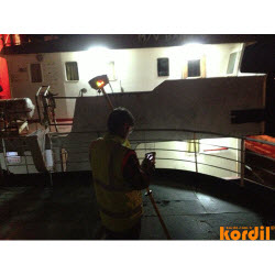
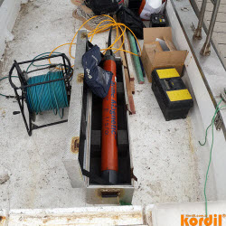
Projects
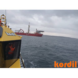
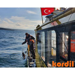
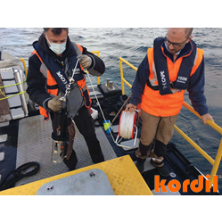
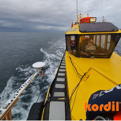
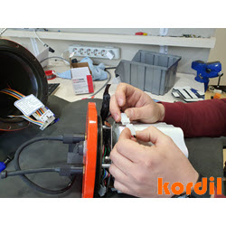
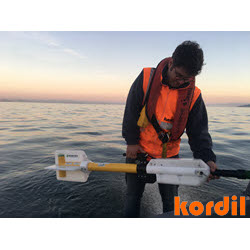
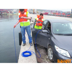
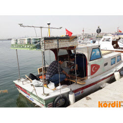
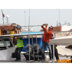
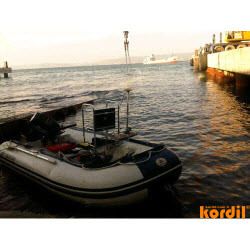
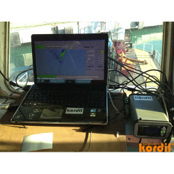
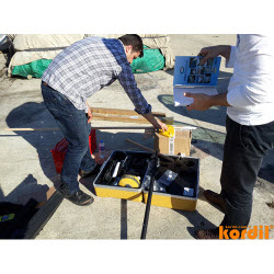
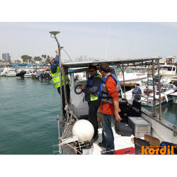
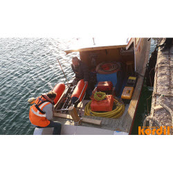
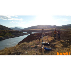
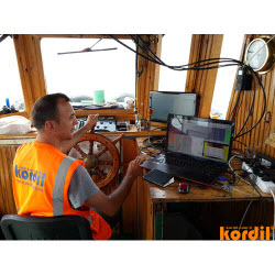
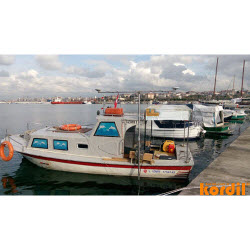
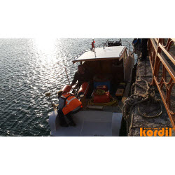
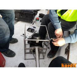
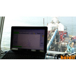
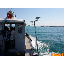
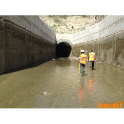
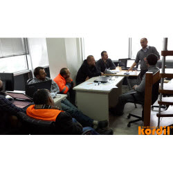
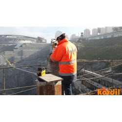
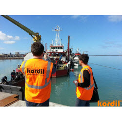
Kordil has been carrying out projects requiring special competence, experiences and knowledge every year. We work with well trained, versatile, self-motivated and enthusiastic person who learn and upgrade their knowledge of competence during execution of all work we involve. We believe we can support your projects given below which can last from a few hours to a few years.
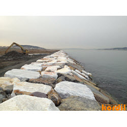
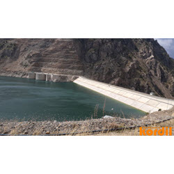
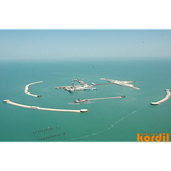
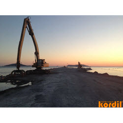
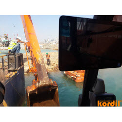
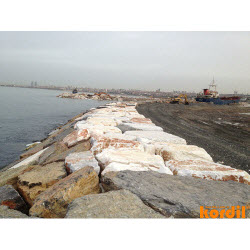
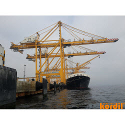
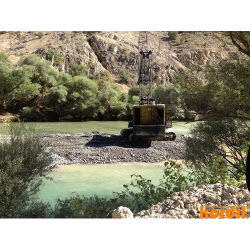
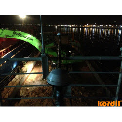
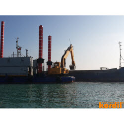
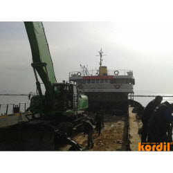
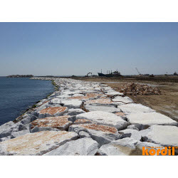
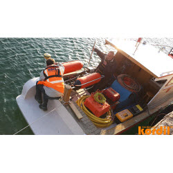
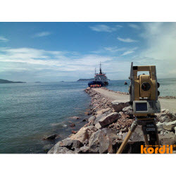
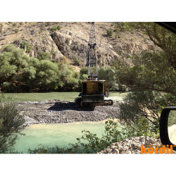
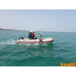
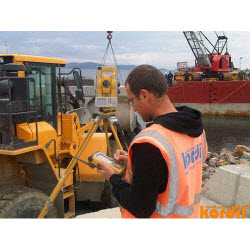
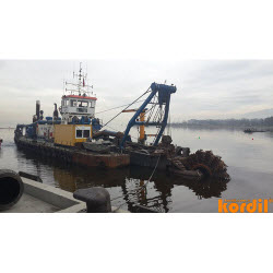
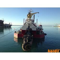
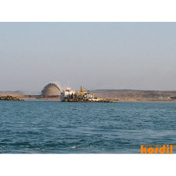
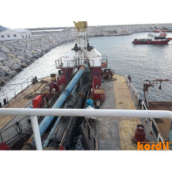
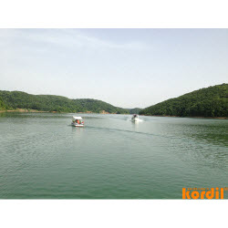
- Dredging & near shore construction
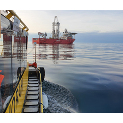
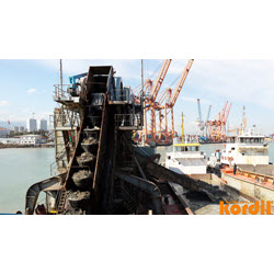
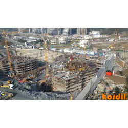
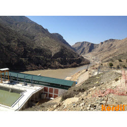
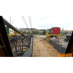
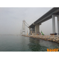
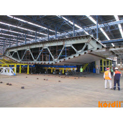
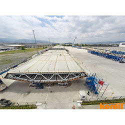
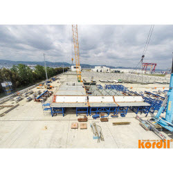
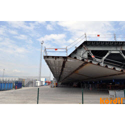
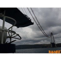
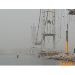
- Offshore construction & civil projects
- Offshore renewable energy
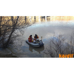
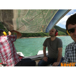
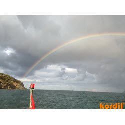
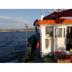
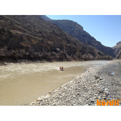
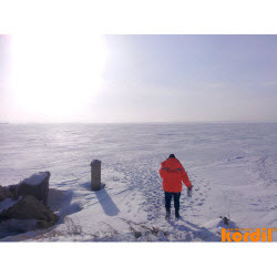
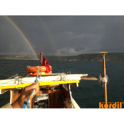
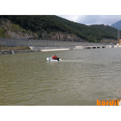
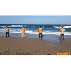
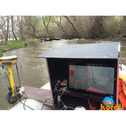
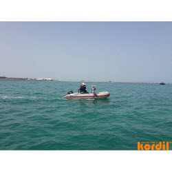
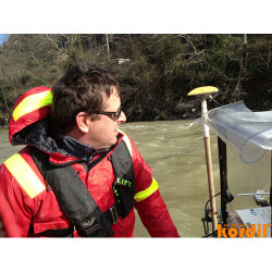
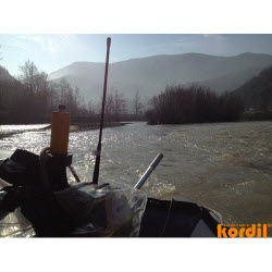
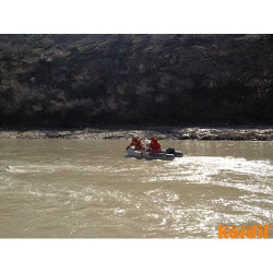
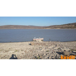
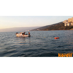
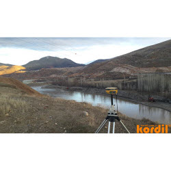
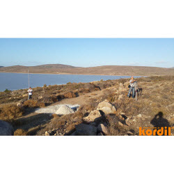
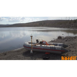
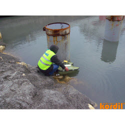
- Field search & investigation
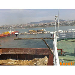
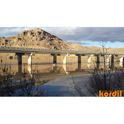
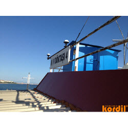
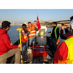
- Port and navigation channels
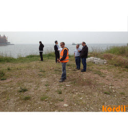
- Environmental research
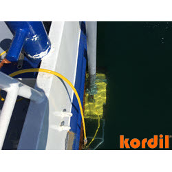
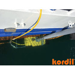
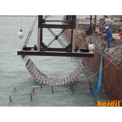
- In-water lines
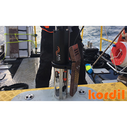
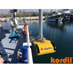
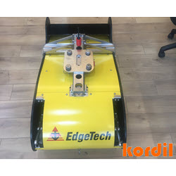
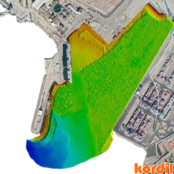
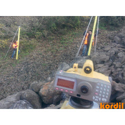
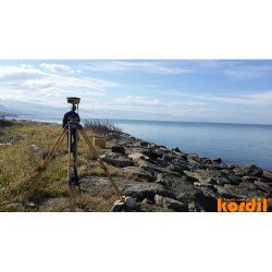
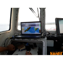
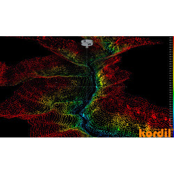
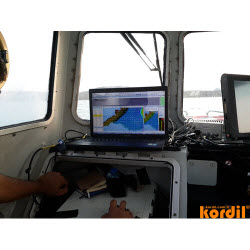
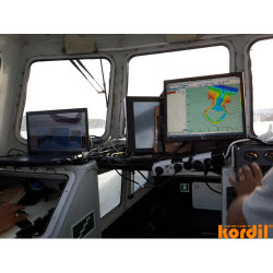
- High resolution seabed mapping
- Surveying for dredging volumes
- Route surveys for cables & pipeline
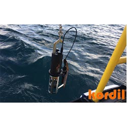
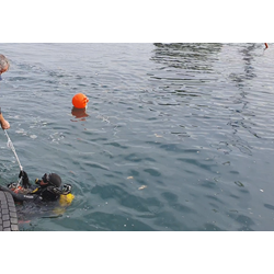
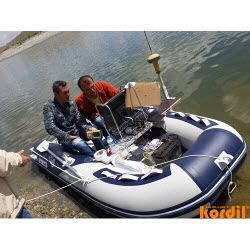
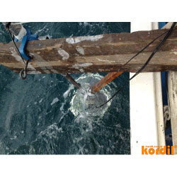
- ROV operations
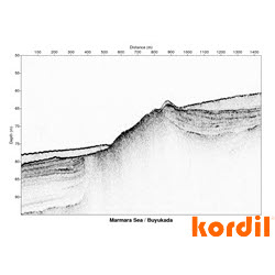
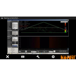
- High resolution sub-bottom surveys
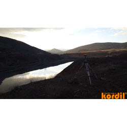
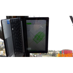
- High resolution laser scanning
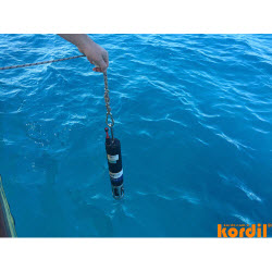
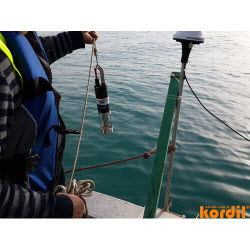
- Sampling & sediment analysts
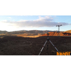
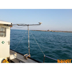
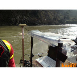
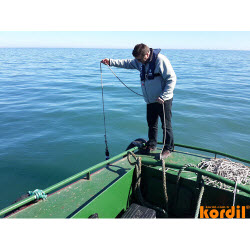
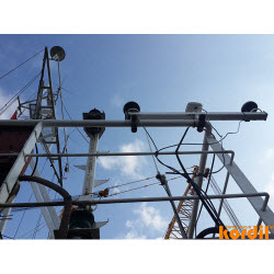
- Met-ocean surveying & monitoring
- Marine archaeology
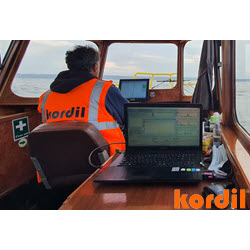
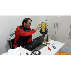
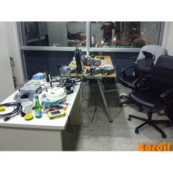
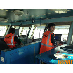
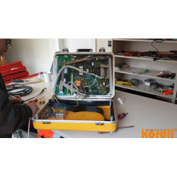
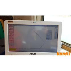
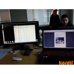
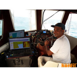
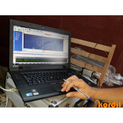
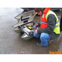
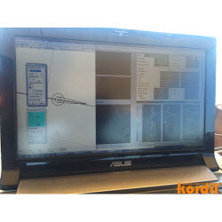
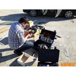
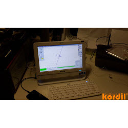
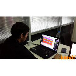
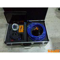
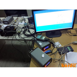
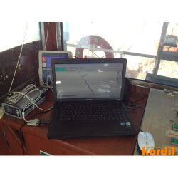
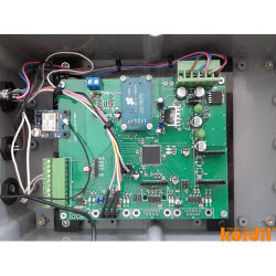
- Data processing and reporting
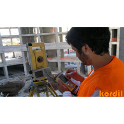
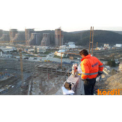
- Pre/post construction surveys
- Scour monitoring and follow up
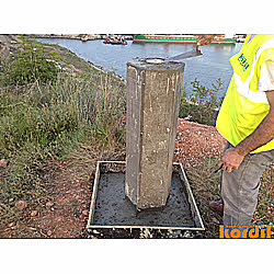
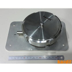
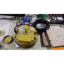
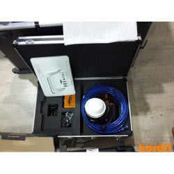
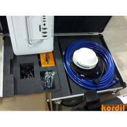
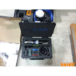
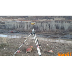
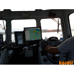
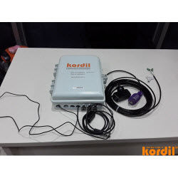
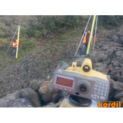
- Positioning systems for construction & navigation
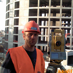
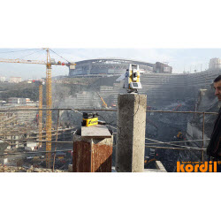
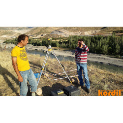
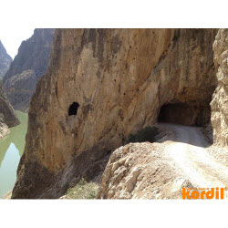
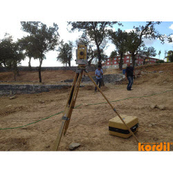
- Topographic surveying & mapping
- Dynamic & static laser scanning
- Aerial, close range and drone photogrammetry
- Satellite photogrammetry & geo-referencing
- Urban modeling with integrated photogrammetry