Geodesy, geophysics, geospatial, and photogrammetric surveying services encompass a range of specialized fields within the broader realm of Earth sciences and surveying. Here's a brief overview of each:
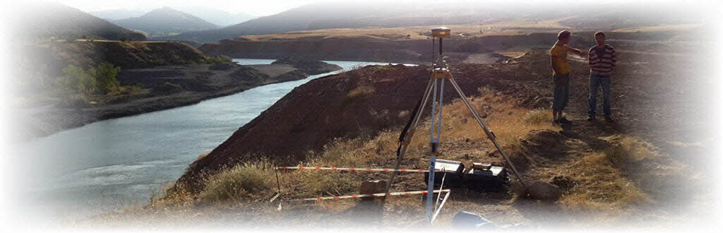
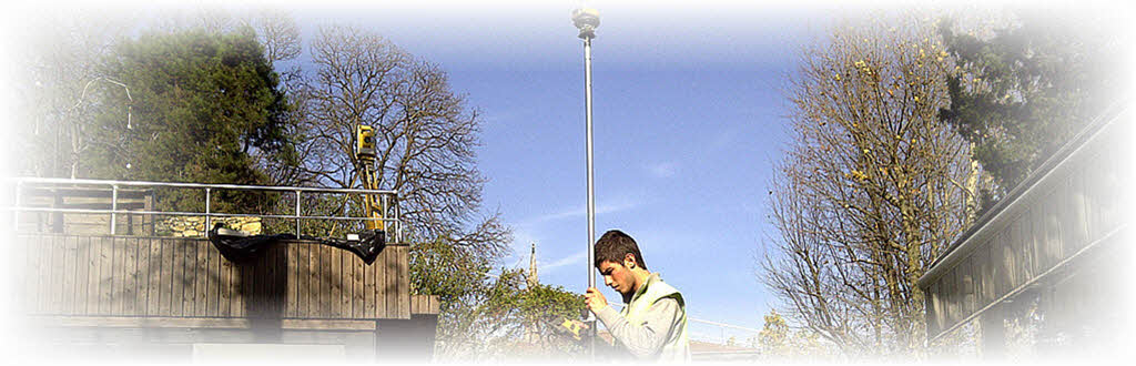
Geodesy: Geodesy is the science of accurately measuring and understanding the shape, orientation, and gravitational field of the Earth. It involves techniques such as satellite positioning (e.g., GPS / GNSS), leveling, and precise measurements of Earth's gravitational field to determine variations in the Earth's surface. Geodesy is crucial for applications like mapping, navigation, and understanding processes such as plate tectonics and sea-level change.
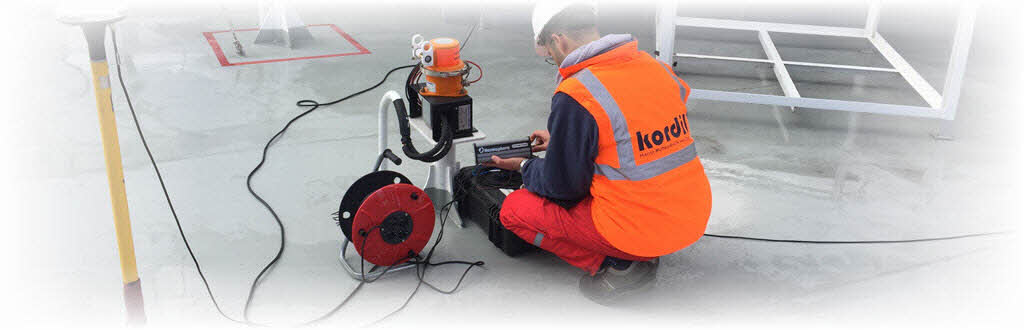
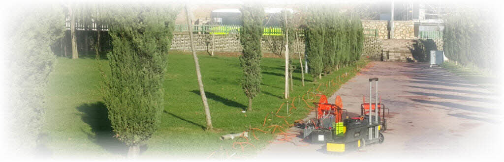
Geophysics: Geophysics is the study of the Earth using physical principles, including principles from physics and mathematics. It involves studying various physical properties of the Earth, such as its magnetic field, gravitational field, seismic waves, and electrical conductivity. Geophysicists use techniques like seismic surveys, gravity surveys, magnetic surveys, and electrical surveys to study subsurface structures, map geological features, and explore for natural resources like oil, gas, and minerals.
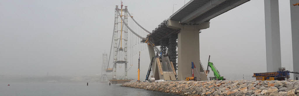
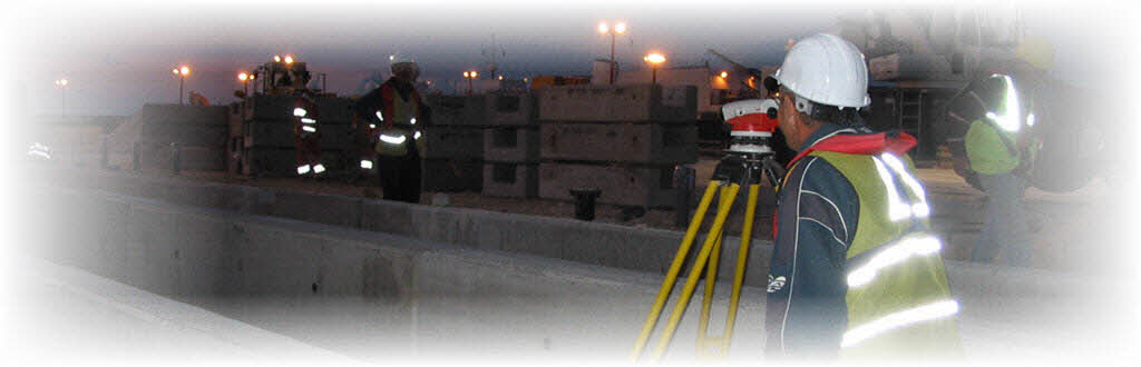
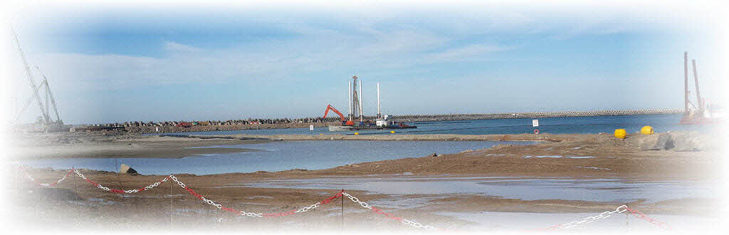
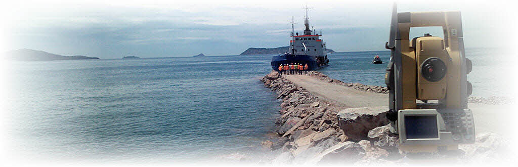
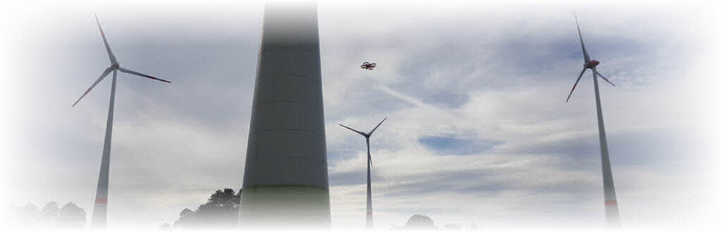
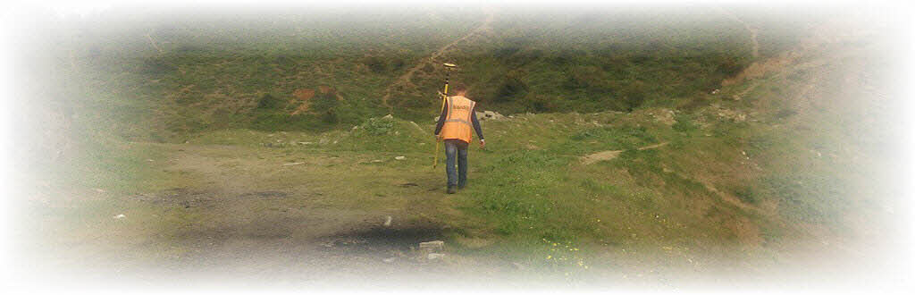
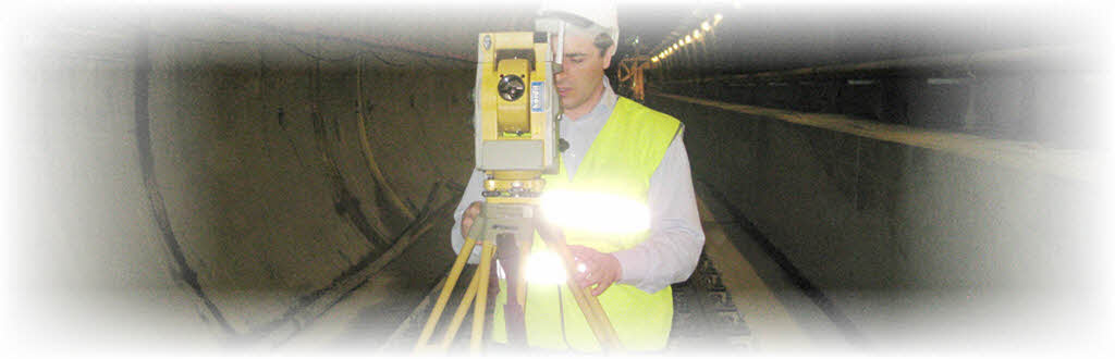
Geospatial Surveying: Geospatial surveying involves the collection, analysis, and interpretation of spatial data related to the Earth's surface. This includes traditional land surveying techniques as well as modern technologies such as remote sensing, Geographic Information Systems (GIS), and Global Navigation Satellite Systems (GNSS). Geospatial surveying is used in a wide range of applications including urban planning, environmental monitoring, disaster management, agriculture, and natural resource management.
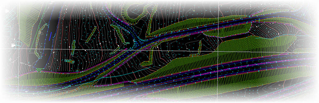
Photogrammetric Surveying: Photogrammetry is the science of making measurements from photographs. In surveying, photogrammetry involves using aerial or terrestrial photographs to create accurate maps, digital elevation models (DEM), and 3D models of the Earth's surface. It relies on principles of triangulation and perspective to extract measurements and geometric information from images. Photogrammetric surveying is widely used in cartography, urban planning, forestry, archaeology, and civil engineering.
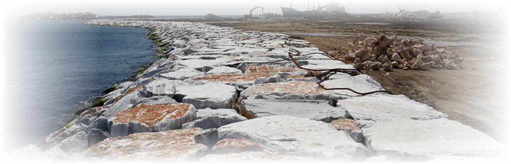
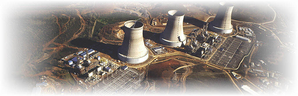
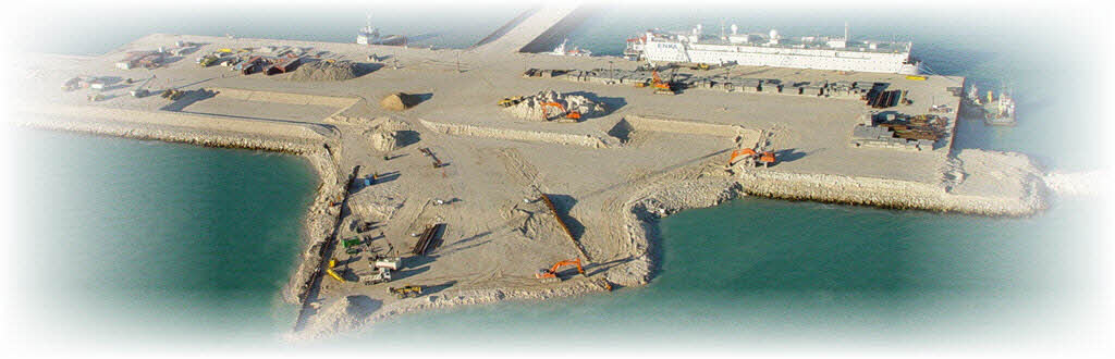
Kordil offering these services typically provides a range of solutions tailored to specific client needs, utilizing advanced technologies, software tools, and expertise in data analysis and interpretation. These services play a crucial role in various industries, including construction, resource exploration, infrastructure development, environmental management, and scientific research.