
iWBMS LR
Norbit iWBMS LR
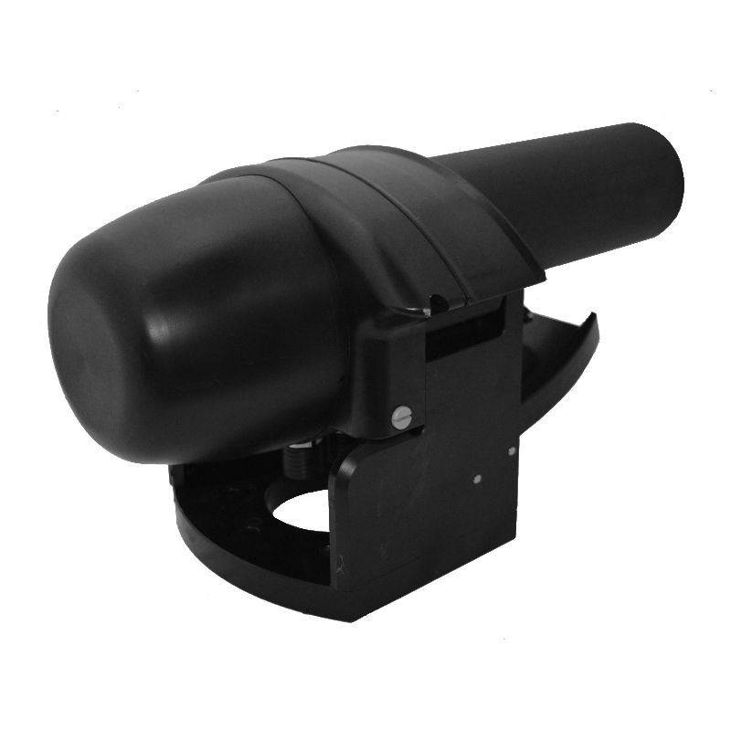
iWBMS LR
Long Range bathymetry
iWBMS LR combines integrated navigation with a nominal 200 kHz sonar for longer-range bathymetry. Applications include route surveys, coastal mapping and deeper channel measurements. Increasing frequency narrows the beam, so range, coverage and target detail should be balanced for the task. The 600 m acoustic depth range is separate from the 100 m housing pressure rating.
Survey workflow and quality control
Before mobilisation, the coordinate system, vertical reference, antenna offsets and sonar mounting geometry are defined. Sound-speed profiles, time synchronisation and angular alignment are checked during trial lines. Sonar observations are assessed alongside position and motion data, with overlapping lines and cross lines used to check consistency.
Deliverables can include a bathymetric surface, sections, a seabed model for volume calculations or structure inspection data, depending on the application. Acoustic resolution alone does not represent final georeferenced survey accuracy. Water depth, seabed material, vessel motion and selected software options are considered together when specifying the system.
Technical specifications
| GNSS/INS | Applanix WaveMaster |
|---|---|
| Frequency | 200 kHz nominal; 160–400 kHz |
| Acoustic depth range | 0.2–600 m |
| Beam width | 1.8° × 1.8° @ 200 kHz; 0.9° × 0.9° @ 400 kHz |
| Beams / sector | 256–512; 5–210° |
| Range resolution | <20 mm @ 200 kHz; <10 mm @ 400 kHz |
| Ping rate | Up to 60 Hz |
| Roll / pitch accuracy | 0.02° |
| Heading accuracy | 0.03° RTK; 2 m antenna separation |
| Power / housing depth rating | 60 W (75 W maximum); 100 m |
Specifications follow the original manufacturer brochure PS-170015-5. Acoustic range is distinct from housing depth rating. Options and operating conditions affect achievable performance.
The technical reference for this model is the existing original brochure revision. Current hardware options and availability should be confirmed for the project.