
Baywei M7 Integrated Multibeam Sonar
Baywei M7 Integrated Multibeam Sonar
Bathymetry with integrated GNSS/INS
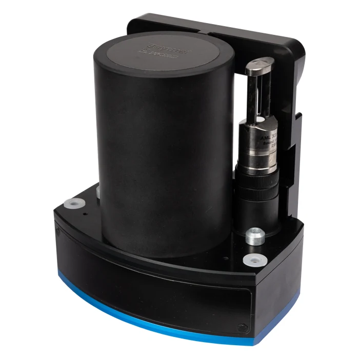
Baywei M7 combines a multibeam sonar with an integrated inertial navigation system for shallow-water surveying. The GNSS/INS is incorporated into the sonar assembly, reducing the number of separate sensors that must be aligned and integrated on a survey platform. This makes M7 particularly useful for small boats and unmanned surface vehicles where space, cable routing and mobilisation time are limited.
The system delivers bathymetry and side-scan data using 512 receive beams, a sector of up to 130 degrees and selectable equal-distance or equal-angle beam distribution. Roll stabilisation helps maintain useful coverage as the vessel moves. Integrated timing avoids the external ZDA and 1PPS inputs required by the standalone M4 configuration, while the navigation solution supplies the position and orientation needed to place soundings correctly.
Applications and processing
M7 can support lake and river mapping, harbour construction surveys, dredging measurements, coastal investigations and university research. Its compact arrangement also suits autonomous-platform development and archaeological mapping. Data collection is included, and established software such as Qinsy, HYPACK, BeamworX and SonarWiz can be used within the acquisition and processing workflow. Soundings can then be cleaned and assessed before generating bathymetric surfaces and engineering deliverables.
Installation and performance
A reliable installation still requires rigid mounting, clear GNSS reception and correctly measured geometry. The stated RTK heading accuracy assumes two metres of antenna separation, while the position specification includes a distance-dependent term relative to the RTK reference station. The sonar-head sound-velocity measurement and periodic water-column profiles serve different purposes and both remain part of the survey workflow. Adjust vessel speed, swath overlap and profile frequency to local conditions rather than relying on the maximum ping-rate figure alone.
Technical specifications
| Swath | 130° |
|---|---|
| Receive beams | 512 |
| TX / RX beam width | 1.45° / 1° ±0.1° |
| Range | >200 m |
| Range accuracy | <10 mm |
| Pressure rating | 60 m |
| GNSS/INS | Integrated |
| RTK horizontal | ±(8 mm + 1 ppm × reference-station distance) |
| RTK vertical | ±(15 mm + 1 ppm × reference-station distance) |
| Heading | 0.08° RTK; 2 m antenna separation |
| Pitch / roll | 0.03° |
| Heave | TRUEHEAVE: 2 cm or 2%; real time: 5 cm or 5% |
| Ping rate | 50 Hz |
| Weight including bracket | 3.5 kg in air; 1.2 kg in water |
Download Baywei M7 Integrated Multibeam Sonar datasheet (PDF)