
Baywei M1 Multibeam Sonar
Baywei M1 Multibeam Sonar
Portable underwater point-cloud mapping
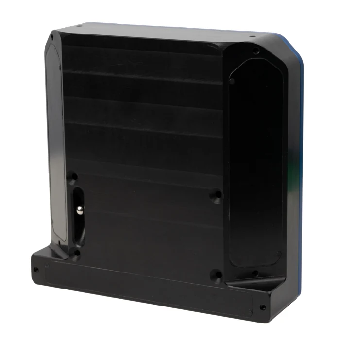
Baywei M1 is a compact multibeam sonar for geospatial professionals who need to extend their mapping work below the water surface. Its integrated GNSS/INS combines acoustic measurements with position and attitude information, producing georeferenced XYZ point clouds, bathymetric maps and side-scan imagery. The 1.7 kg unit is suited to portable deployments from small craft and unmanned surface vehicles, particularly where mobilisation time and payload are important.
An application-controlled workflow presents live results through a web browser, including compatible smartphones. This lets the survey team assess underwater terrain and structures while data is being collected. The resulting point-cloud information can be taken into CAD and three-dimensional analysis environments such as AutoCAD or CloudCompare, helping connect underwater observations with an existing engineering or geospatial project.
Applications and deliverables
M1 supports inspection-oriented mapping of riverbeds, lakes and submerged structures, as well as rapid reconnaissance before more detailed investigation. A live point cloud helps the operator recognise changes in bottom shape and assess whether coverage is sufficient. Survey planning should still consider positioning quality, obstructions, vessel motion and the required level of detail; a small beam footprint does not by itself establish the accuracy of the completed survey.
Installation and operation
The current M1 configuration uses remote acoustic sound-velocity profiling to avoid routine separate profile casts in its intended workflow. This differentiates M1 from the conventional M4 and M7 arrangements. Install the sonar rigidly, maintain clear GNSS antenna visibility and follow the antenna-separation requirements for the stated positioning performance. Select swath width and vessel speed to maintain useful sounding density, and verify the resulting data against the project requirements. Acquisition and visualisation software is included.
Technical specifications
| Swath | Up to 150°; 130° with roll stabilisation |
|---|---|
| Receive beams | 512 |
| TX / RX beam width | 1.4° / 1.7° |
| Range | >200 m |
| Pressure rating | 50 m |
| GNSS/INS | Integrated |
| Position | Horizontal ±0.8 cm; vertical ±1.5 cm (RTK; 1 m antenna separation) |
| Heading | 0.08° RTK |
| Pitch / roll | 0.03° |
| Ping rate | 50 Hz |
| Weight | 1.7 kg in air; 0.45 kg in water |
| Outputs | XYZ point cloud, side-scan imagery and bathymetric maps |