
Leica
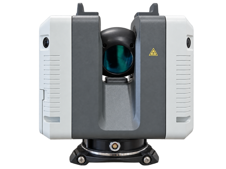
Leica RTC360 3D Laser Scanner
Terrestrial LiDAR for 3D Point Clouds and Reality Capture
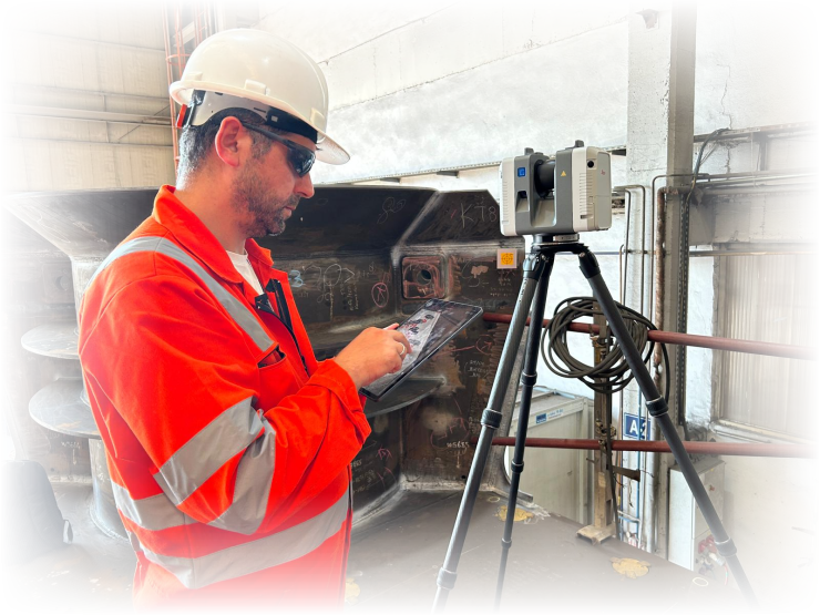
The Leica RTC360 is a portable terrestrial laser scanner for recording buildings, industrial facilities and the surrounding environment in three dimensions. It combines high-speed laser measurements with HDR panoramic imaging to create detailed, colourised point clouds for surveying, as-built documentation and BIM workflows. The captured geometry provides a measurable record of existing conditions before design, construction, refurbishment or equipment installation.
Its Visual Inertial System (VIS) tracks movement between scan positions and supports automatic pre-registration in the field. Leica Cyclone FIELD 360 helps operators organise scan stations and review coverage on site, while Cyclone REGISTER 360 supports registration and quality control in the office. Field checks remain important for confirming sufficient overlap and identifying areas that require additional observations.
Applications
Typical applications include architectural surveys, industrial plant documentation, structural surveys, interior and exterior modelling, and the preparation of point-cloud data for BIM. Scan spacing, control points and deliverable formats should be selected according to the required detail and accuracy. Kordil can evaluate the measurement scope and the intended use of the resulting point cloud with the project team.
Technical Specifications
- Measurement range: 0.5–130 m
- Scanning speed: up to 2,000,000 points per second
- Field of view: 360° horizontal × 300° vertical
- Point spacing at 10 m: 3, 6 or 12 mm
- Range accuracy: 1 mm + 10 ppm
- 3D point accuracy: 1.9 mm at 10 m; 2.9 mm at 20 m; 5.3 mm at 40 m
- Scan and HDR acquisition: under 2 minutes at 6 mm / 10 m setting
- Imaging: 36 MP three-camera system; 432 MP raw data for a spherical image
- HDR: five exposures
- Protection: IP54; weight: 5.35 kg without batteries
Accuracy figures refer to the manufacturer’s specified reflectivity and confidence conditions. The 432 MP figure describes raw spherical-image data, not the resolution of an individual camera sensor.