
Leica
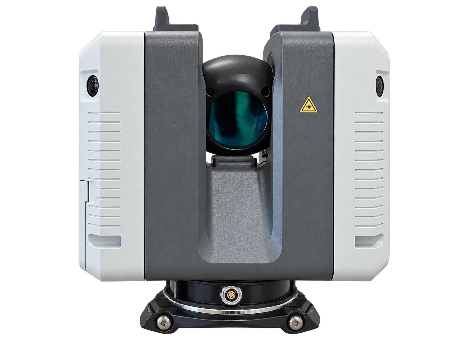
Leica RTC360 is a terrestrial 3D laser scanning system for capturing buildings, industrial plants and other physical environments as detailed point clouds. It combines measurements at up to two million points per second with panoramic HDR imagery, helping survey teams document existing conditions and prepare reliable geometric data for design, renovation and construction workflows. Its measurement range extends from 0.5 to 130 metres, with selectable point spacing to suit the size and complexity of the site.
The integrated Visual Inertial System, known as VIS, tracks movement between scan positions and supports automatic pre-registration. Leica Cyclone FIELD 360 allows scan data to be organised and checked on site, while Cyclone REGISTER 360 supports registration and quality control in the office. These tools help operators identify missing coverage and plan additional observations before leaving the project.
Typical applications include architectural surveys, as-built documentation, industrial measurement and the preparation of point-cloud information for BIM modelling. The scanner also supports the documentation of interior spaces, building façades and complex installations where a clear record of existing geometry is required.
Kordil evaluates scan coverage, control-point requirements, required detail and delivery formats according to the project scope. The resulting data can support measurements, drawings and modelling when processed and checked within an appropriate survey workflow. View the RTC360 product page for technical specifications, photographs and the manufacturer’s datasheet.